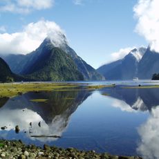
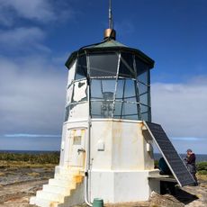
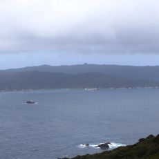
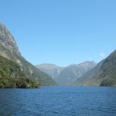
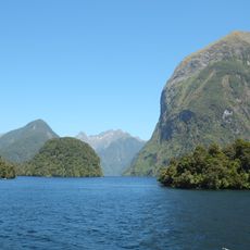
Rakituma / Preservation Inlet, Fjord in Southland District, New Zealand.
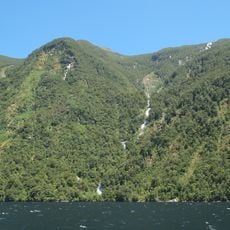
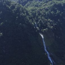
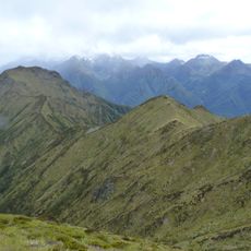
Rakituma is a large fjord in Southland covering about 93 square kilometers of water and the fourth largest of its kind in Fiordland National Park on New Zealand's South Island. Two main passages connect it to the Tasman Sea, with the northern route narrowing to about 1.67 kilometers at its tightest point.
New Zealand's first shore-based whaling station began operating here in 1828, established by Captain Peter Williams at the southern edge of the fjord. This early European presence shaped the region's history during the whaling era.
The name Rakituma comes from a Maori legend about a demigod who shaped these fjords with traditional tools. Local names and stories keep this cultural connection alive for visitors who explore the waters today.
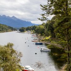
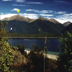
The area is best reached during the warmer months from December to March when boat conditions are safest. Stable weather is important since the exposed location can bring strong waves and currents.
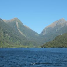
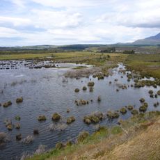
The inner waters are protected by the Te Tapuwae o Hua Marine Reserve, home to southern right whales and bottlenose dolphins. This marine sanctuary offers visitors a rare chance to see these large marine mammals in their natural habitat.
The community of curious travelers
AroundUs brings together thousands of curated places, local tips, and hidden gems, enriched daily by 60,000 contributors worldwide.