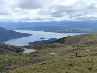
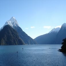
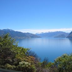
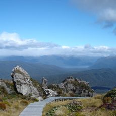
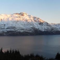
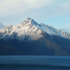
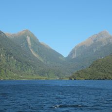
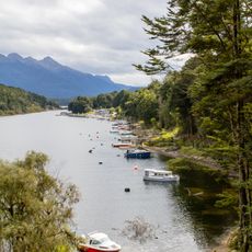
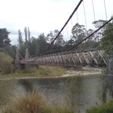
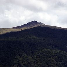
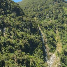
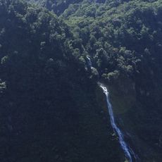
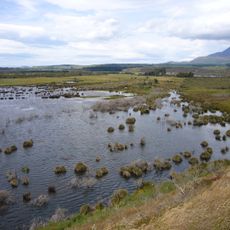
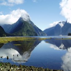
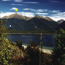
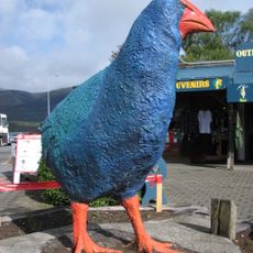
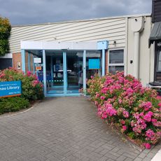
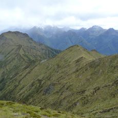
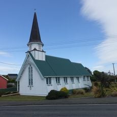
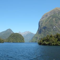
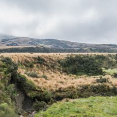
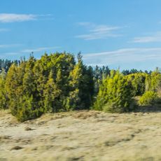
Southland District, territorial authority district in New Zealand's Southland region
Location: Southland Region
Shares border with: Gore District, Invercargill City, Clutha District, Central Otago District, Queenstown-Lakes District, Westland District
Website: http://southlanddc.govt.nz
GPS coordinates: -45.63330,167.91700
Latest update: March 10, 2025 15:50
Te Wahipounamu
81.3 km
Browne Falls
69.9 km
Te Ana-au Caves
40.4 km
Southern Lakes
64.4 km
Hump Ridge Track
66.8 km
Cecil Peak
79.9 km
Walter Peak
75.5 km
Deep Cove
62.8 km
Pearl Harbour, New Zealand
24.8 km
Clifden Suspension Bridge
46.9 km
Mount Luxmore
37.5 km
Lady Alice Falls
63.2 km
Mount Titiroa
31.2 km
Helena Falls
61.4 km
Rakatu Wetlands
23.8 km
Waters and seabed of Fiordland
73 km
Mount Moturau
32.9 km
Big Takahe
28.9 km
Surfer Riding a Wave
81.1 km
Otautau Museum
57.2 km
Te Anau Library
28.9 km
Forward Peak
39.9 km
St Mary's Church
80.4 km
Commander Peak
67.1 km
Bluecliffs Beach
66.3 km
Burwood Bush Scientific Reserve
16.4 km
The Wilderness Area Scientific Reserve
12.2 kmReviews
Visited this place? Tap the stars to rate it and share your experience / photos with the community! Try now! You can cancel it anytime.
Discover hidden gems everywhere you go!
From secret cafés to breathtaking viewpoints, skip the crowded tourist spots and find places that match your style. Our app makes it easy with voice search, smart filtering, route optimization, and insider tips from travelers worldwide. Download now for the complete mobile experience.
A unique approach to discovering new places❞
— Le Figaro
All the places worth exploring❞
— France Info
A tailor-made excursion in just a few clicks❞
— 20 Minutes