Hump Ridge Track, Hiking trail in Fiordland National Park, New Zealand
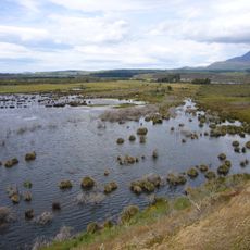
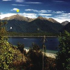
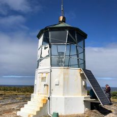
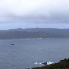
Hump Ridge Track is a three-day hiking route in the southern part of Fiordland National Park, New Zealand, running through coastal forest, open subalpine terrain, and clifftop sections above the Tasman Sea. The route forms a loop between two lodges, crossing the broad ridge that gives it its name.
The coastal section was first cut by government workers in 1896 as an alternative to unreliable shipping to the gold-mining settlements of Cromarty and Te Oneroa. In 1916 the Marlborough Timber Company built over 14 km of tramway from Port Craig, including four viaducts, three of which the track now crosses. The mill closed and the settlement was abandoned by 1930.
The name Tuatapere comes from the Māori words tua (beyond) and tapere (the Waiau River), referring to the town's position across the river. Early Māori crossed the Waiau on mokihi rafts and used tracks along the terraces and beaches to reach Sandhill Point and the Wairaurāhiri River.
The loop starts and ends at a carpark 30 km from Tuatapere and is walked over three days, with six to eight hours of walking daily. The coastal section is flat sand or dirt, but the ground near the viaducts between Port Craig and Edwin Burn can be very boggy. Helicopter access and guided options exist.
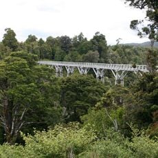
The Percy Burn Viaduct, which the trail crosses, is a wooden structure from the logging era and one of the tallest surviving timber viaducts in New Zealand. It was built to carry log wagons across a deep gully and still stands in its original form today.
The community of curious travelers
AroundUs brings together thousands of curated places, local tips, and hidden gems, enriched daily by 94,225 contributors worldwide.