Enable Location

We need your location to show you interesting places around you

Discover nearby places

Find interesting locations and hidden gems around you

Precise directions

Get accurate directions and distances to places

Your location is never shared with other users. It's only used when you tap the location button.

Routeburn Track

Log in to your account

Start exploring — it's free

Trusted by 62,185 travelers worldwide

Continue with Google
Continue with Apple
or

We will send you a code to connect

By continuing, you accept our Terms and Conditions and our Privacy Policy

Check your inbox

We've sent a pincode in your inbox. Please enter the code below.

Routeburn Track

Routeburn Track, Alpine hiking trail in South Island, New Zealand.

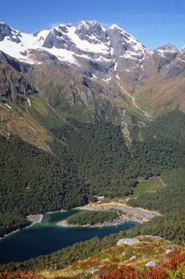
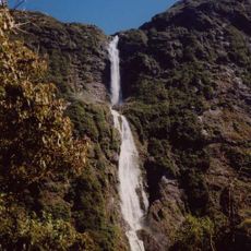
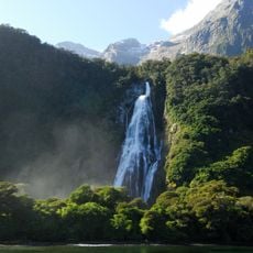
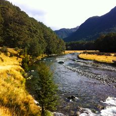
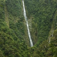
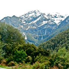
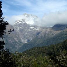
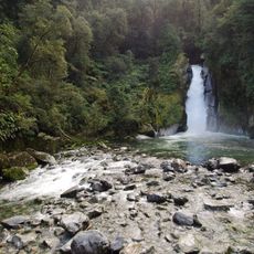
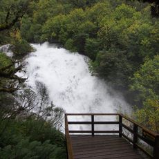
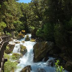
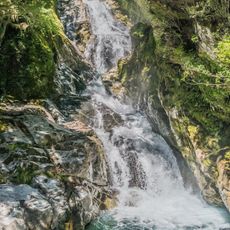
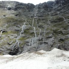
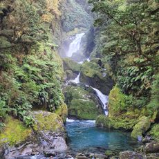
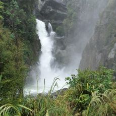
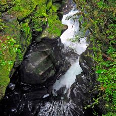
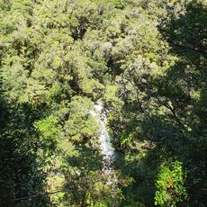
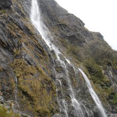
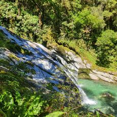
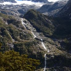
The Routeburn Track is a multi-day walking path on New Zealand's South Island that runs for thirty-two kilometers through Fiordland and Mount Aspiring National Parks. The route crosses valleys flanked by high ridges and open grassland above the treeline, where small tarns and narrow streams appear along the way.

Māori groups used this route for centuries to trade between coasts and carry pounamu from the west. European settlers in the late nineteenth century began adapting the path as a stock and prospecting route.

The Department of Conservation maintains this Great Walk as part of New Zealand's national heritage, preserving native wildlife habitats and indigenous connections.

Walkers must book a bed in the mountain huts ahead of time, as spaces fill quickly from October through April. The trail requires solid fitness because of steep climbs and changing weather at higher elevations.

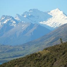
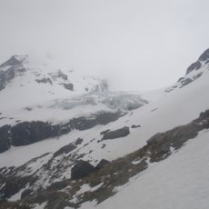
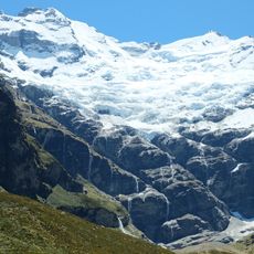
Harris Saddle sits at twelve hundred and fifty-five meters (4,120 feet) above sea level and opens views into both national parks at once. On clear days you can see the peaks of the Humboldt Mountains and Lake Harris below the pass from there.

The community of curious travelers

AroundUs brings together thousands of curated places, local tips, and hidden gems, enriched daily by 60,000 contributors worldwide.

Start exploring
GPS coordinates
-44.72695,168.17034
Latest update
December 19, 2025 22:35
« Routeburn Track - Alpine hiking trail in South Island, New Zealand » is provided by Around Us (aroundus.com). Images and texts are derived from Wikimedia project under a Creative Commons license. You are allowed to copy, distribute, and modify copies of this page, under the conditions set by the license, as long as this note is clearly visible.

Discover hidden gems everywhere you go!

From secret cafés to breathtaking viewpoints, skip the crowded tourist spots and find places that match your style. Our app makes it easy with voice search, smart filtering, route optimization, and insider tips from travelers worldwide. Download now for the complete mobile experience.

Around Us App Screenshot

A unique approach to discovering new places

Le Figaro

All the places worth exploring

France Info

A tailor-made excursion in just a few clicks

20 Minutes

Around Us
Travel Guide & Maps
Download

Send to your phone

QR Code
1

Open the camera app on your mobile.

2

Point at the QR code with your camera. A notification will appear.

3

Tap the notification to open the link.