Lake Wakatipu, Glacial lake in Queenstown-Lakes District, New Zealand
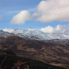
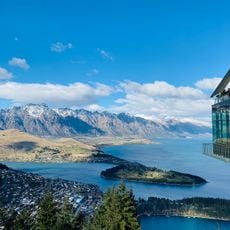
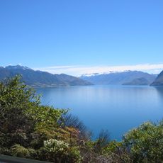
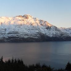
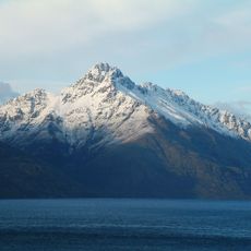
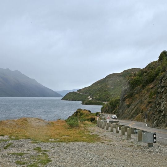
Lake Wakatipu is a finger lake in the southwest of New Zealand's Otago region, 80 kilometres long and 295 square kilometres in area, with a maximum depth of 420 metres. Its reversed "N" or dog-leg shape runs south from the Dart River, turns east, then south again to Kingston. The Remarkables and the Tapuae-o-Uenuku / Hector Mountains line its southeastern edge.
This body of water formed during the last ice age as glaciers carved through the landscape, shaping its distinctive long form. Geological changes after the ice melted altered how water drained from the area.
The name Wakatipu has two proposed Māori etymologies. One reads it as Waka-tipua-wai-maori, 'trough of fresh water where the giant lies', from a legend that a dying giant formed the lake, his breathing moving the water. The other derives it from Whakatipu, 'to create' or 'to cause to grow', from a story of a remnant of a Māori tribe rebuilding its numbers around the lake.
The water remains cold year-round, and visitors should wear safety gear like life jackets when using small boats. Access to the shoreline and viewing points is available around the lake, making it easy to walk or take photographs along the edges.
The lake's water level rises and falls about 200 millimetres every 26.7 minutes, a seiche most noticeable in Queenstown Bay. The movement is not caused by wind but by the lake's own oscillation, and the Māori legend of a giant's breathing explains the changing levels.
The community of curious travelers
AroundUs brings together thousands of curated places, local tips, and hidden gems, enriched daily by 93,764 contributors worldwide.