Chest opened
+${chestReward.xp} XP
Explorer
NOUVEAU ×${chestReward.collectible.quantity}
tapez pour fermer
Chest locked

Open chests in the app

Around Us is built for your phone — chests unlock when you walk, explore and capture nearby places.

Enable Location

We need your location to show you interesting places around you

Discover nearby places

Find interesting locations and hidden gems around you

Precise directions

Get accurate directions and distances to places

Your location is never shared with other users. It's only used when you tap the location button.

Log in to your account

Start exploring — it's free

Trusted by 72,891 travelers worldwide

Continue with Google
Continue with Apple
or

We will send you a code to connect

By continuing, you accept our Terms and Conditions and our Privacy Policy

Check your inbox

We've sent a pincode in your inbox. Please enter the code below.

Residential red zone
Discussion Reviews Photo
15.2k Popularity

Residential red zone, Post-earthquake uninhabitable lands in Christchurch and Waimakariri, New Zealand.

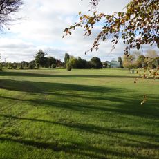
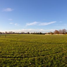
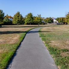
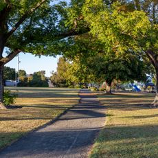
The Residential Red Zone spans 600 hectares along a river corridor and encompasses former neighborhoods that were severely damaged during earthquakes. The area is now accessible to the public through walking and cycling trails, displaying different stages of land recovery and renewal.

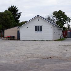
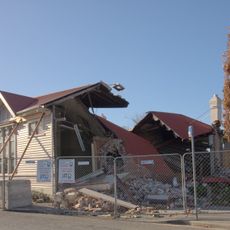
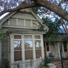
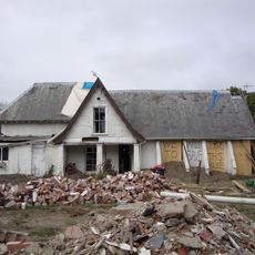
After the 2010 and 2011 earthquakes, the New Zealand government purchased more than 8,000 properties from residents and demolished them to clear the land. This large-scale transformation marks a major turning point in the city's history following the natural disaster.

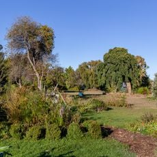
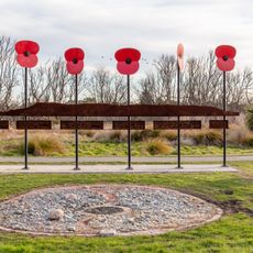
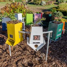
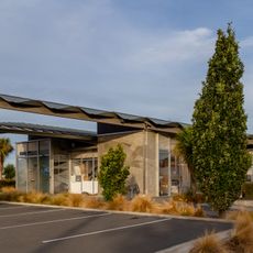
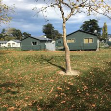
The area has become a center for environmental education and creative projects, where former neighborhoods now host gardens and artistic spaces. Visitors can see how the community uses these reclaimed lands for events and gathering.

An 11-kilometer shared-use trail connects two neighborhoods and offers easy access on foot or by bicycle. The trail is free to use and passes through regenerating natural spaces that are pleasant to explore.

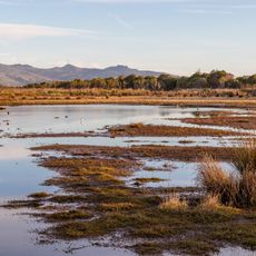
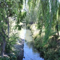
The Bexley Wetland shows how nature returns to the city where houses once stood, with birds resettling the area. This demonstrates how quickly abandoned urban spaces can become wildlife habitat.

The community of curious travelers

AroundUs brings together thousands of curated places, local tips, and hidden gems, enriched daily by 60,000 contributors worldwide.

Start exploring
GPS coordinates
-43.50583,172.67972
Latest update
March 5, 2026 18:16
Reviews
Share your experience

No review yet

Discussions
Start a discussion...

No discussion yet

« Residential red zone - Post-earthquake uninhabitable lands in Christchurch and Waimakariri, New Zealand » is provided by Around Us (aroundus.com). Images and texts are derived from Wikimedia project under a Creative Commons license. You are allowed to copy, distribute, and modify copies of this page, under the conditions set by the license, as long as this note is clearly visible.

Discover hidden gems everywhere you go!

From secret cafés to breathtaking viewpoints, skip the crowded tourist spots and find places that match your style. Our app makes it easy with voice search, smart filtering, route optimization, and insider tips from travelers worldwide. Download now for the complete mobile experience.

Around Us App Screenshot

A unique approach to discovering new places

Le Figaro

All the places worth exploring

France Info

A tailor-made excursion in just a few clicks

20 Minutes

Around Us
Travel Guide & Maps
Download

Send to your phone

QR Code
1

Open the camera app on your mobile.

2

Point at the QR code with your camera. A notification will appear.

3

Tap the notification to open the link.