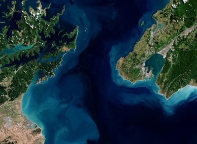
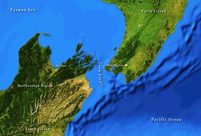
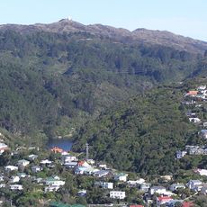
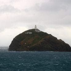
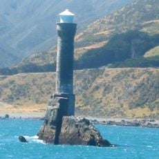
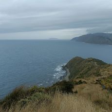
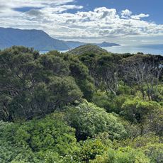
Cook Strait, Maritime passage between North and South Islands, New Zealand.
Cook Strait is a maritime passage between the North and South Islands of New Zealand, connecting the Tasman Sea in the northwest with the South Pacific Ocean in the southeast. At its narrowest point, the passage measures about 22 kilometers (roughly 14 miles) across and separates the country's two main islands.
Dutch navigator Abel Tasman sailed into these waters in 1642 but initially thought it was a bay. Captain James Cook identified the passage between the two islands in 1770 and gave it his name.
The traditional name Te Moana-o-Raukawa comes from Māori language and refers to a woody shrub native to the region, connecting both shores. Today, travelers experience the waterway mainly aboard ferries, where locals and visitors cross between the islands regularly.
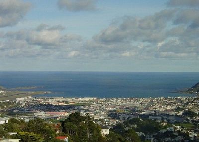
Ferry services run daily between Wellington at the southern tip of the North Island and Picton on the South Island. Crossings take around three hours and carry cars, passengers, and cargo in nearly all weather conditions.
Beneath the waterway run submarine cables and high-voltage power lines that carry electricity and telecommunications between the two islands. These links maintain the electrical grid and internet across the country.
The community of curious travelers
AroundUs brings together thousands of curated places, local tips, and hidden gems, enriched daily by 60,000 contributors worldwide.