Aorangi Forest Park, Conservation park in South Wairarapa District, New Zealand
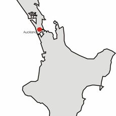
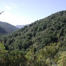
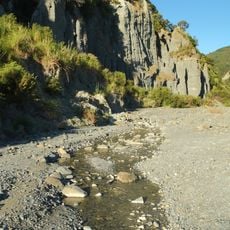
Aorangi Forest Park covers 194 square kilometres of the Aorangi Range, stretching about 33 km north to south and up to 14 km east to west, reaching the Palliser Bay coast and the southern tip of the North Island. Mount Ross, at 981 m, is its highest point. The park has six backcountry huts.
The southern forest section was designated as State forest in 1900, with the northern section following in 1936. The two blocks were later combined and changed into a protected park in 1978 to ensure long-term conservation.
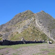
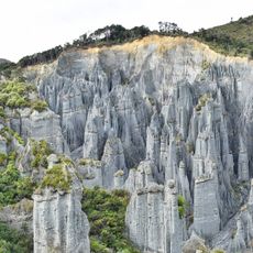
The park's name comes from the Aorangi Range it protects; DOC replaced the earlier name Haurangi Forest Park with the Māori name of the range. The highest point is Mount Ross at 981 m. Access roads from Martinborough via Lake Ferry Road lead to the Putangirua Pinnacles and the coast of Palliser Bay.
Access is from State Highway 53 out of Martinborough via Lake Ferry Road, with a turn-off southeast to the eastern side of the park or on to the Palliser Bay coast and the coastal road south to the Putangirua Pinnacles. The park can also be reached on foot from several local roads, or across private land with the landowners' permission.
The park is home to a native long-tailed bat population that was recorded in 2020, showing the ecological richness of the forest. It also sits within the core zone of the Wairarapa Dark Sky Reserve, where limited light pollution helps protect the night sky.
The community of curious travelers
AroundUs brings together thousands of curated places, local tips, and hidden gems, enriched daily by 93,457 contributors worldwide.