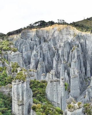
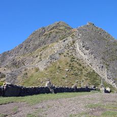
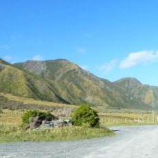
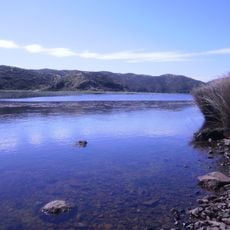
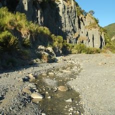
Pūtangirua Pinnacles, rock formation in New Zealand
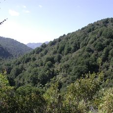
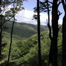
Putangirua Pinnacles is a rock formation in New Zealand's Wellington Region featuring dozens of tall, narrow sandstone towers that rise at different angles from a broad valley floor. The structures were shaped by wind and water erosion over many thousands of years, creating pointed peaks and curved formations that continue to change slowly.
The Pinnacles originated as a riverbed that was gradually transformed into tall rock formations over thousands of years through natural erosion. In recent times, the site gained wider recognition after appearing in films, which brought increased attention from travelers and adventure seekers.
The Pinnacles hold significance in Māori tradition, where the rock formations connect to ancestral spirits and natural forces through local stories passed down over time. Visitors walking through the site can sense these cultural meanings woven into the landscape itself.
The walking trail is moderately easy with uneven ground, so sturdy shoes are necessary and the route typically takes about two hours to complete. The site has no facilities like restrooms or cafes, so visitors should bring water, snacks, and wear weather-appropriate clothing.
The Pinnacles are in constant slow transformation, with small pieces continually falling away and new shapes emerging, meaning the landscape looks slightly different on each visit. This ongoing process reminds visitors that natural forces are actively reshaping the site even today.
The community of curious travelers
AroundUs brings together thousands of curated places, local tips, and hidden gems, enriched daily by 60,000 contributors worldwide.