Napier, Administrative division in Hawke's Bay, New Zealand
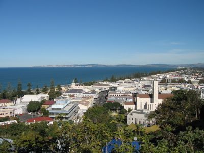
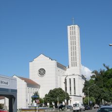
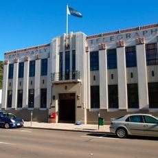
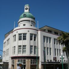
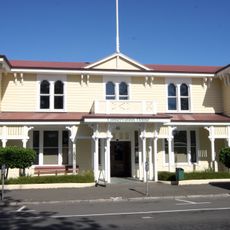
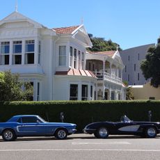
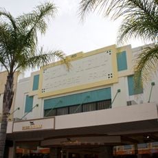
Napier is an administrative division and port city on the eastern coast of New Zealand's North Island, known for its 1930s architecture. The streets around Emerson Street and Tennyson Street show symmetrical lines, sun motifs, and decorative elements on the facades.
A strong earthquake destroyed much of the town in February 1931 and killed more than 250 people. The rebuilding happened quickly and followed the design principles of that time, creating a mostly uniform townscape.
The name comes from British General Charles Napier, while the city today centers its identity on the 1930s reconstruction. Visitors follow marked walking routes through streets lined with geometric facades, glazed shopfronts, and colored ceramic details on buildings.
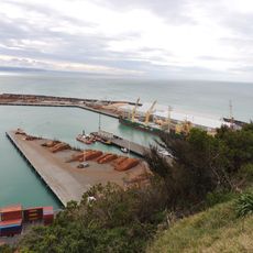
Most sights sit within walking distance around the center, while the waterfront promenade allows a stroll with sea views. Local bus lines connect outer suburbs with the town center, and parking is often available on side streets.
The town ranks among the sunniest areas in the country, which benefits nearby vineyards. Some buildings carry relief brickwork or terracotta ornaments that become particularly visible in direct sunlight.
The community of curious travelers
AroundUs brings together thousands of curated places, local tips, and hidden gems, enriched daily by 60,000 contributors worldwide.