
Christ Church, State Highway 2, Pukehou
Location: Hastings District
GPS coordinates: -39.81931,176.64337
Latest update: September 24, 2025 04:18
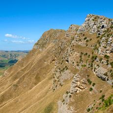
Te Mata Peak
26.3 km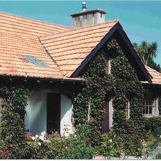
Whare Ra
26.4 km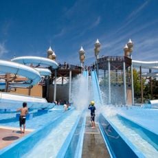
Splash Planet
27.1 km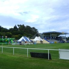
Park Island, Napier
39.2 km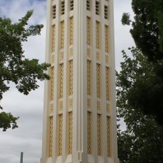
Hastings Clock Tower
26.1 km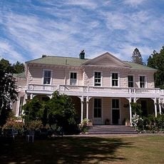
Oruawharo Homestead
32.1 km
Napier Art Deco historic precinct
42.2 km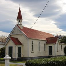
St Oran's Church
21.8 km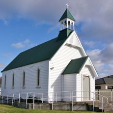
St Thomas' Church
37.1 km
Central Building
26.2 km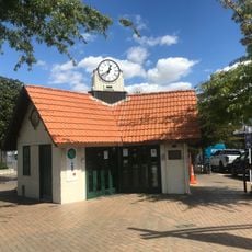
Transformer House and Shelter
26 km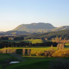
Kahurānaki
19.8 km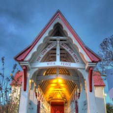
St Matthew's Anglican Church
26 km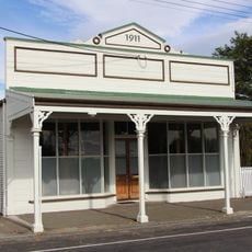
Poodles Bazaar
21.9 km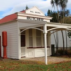
Butcher’s Shop
22.1 km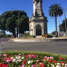
Taradale War Memorials
36.5 km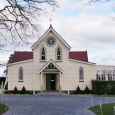
St Mary's Church
36.6 km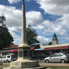
War Memorial, Havelock North
26 km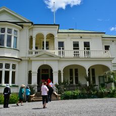
Gwavas Station Homestead and Garden
14.6 km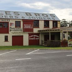
Coles Joinery Factory
21.8 km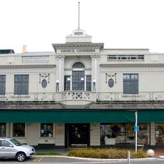
Hastings Municipal Buildings
26.1 km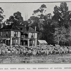
Woburn Station Homestead
23.5 km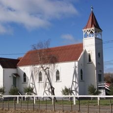
St Joseph's Church
35.2 km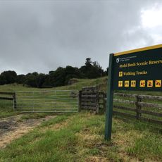
Mohi Reserve
22.4 km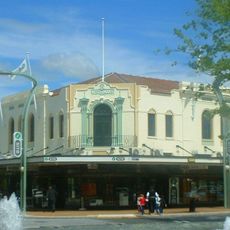
Westerman's and Co. Building
26.1 km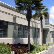
Medical and Dental Chambers
26.3 km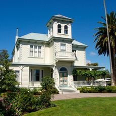
Duart House
26.5 km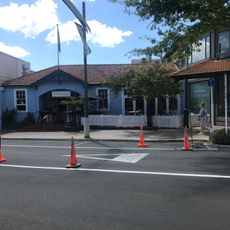
Post Office, Havelock North
26 kmVisited this place? Tap the stars to rate it and share your experience / photos with the community! Try now! You can cancel it anytime.
Discover hidden gems everywhere you go!
From secret cafés to breathtaking viewpoints, skip the crowded tourist spots and find places that match your style. Our app makes it easy with voice search, smart filtering, route optimization, and insider tips from travelers worldwide. Download now for the complete mobile experience.

A unique approach to discovering new places❞
— Le Figaro
All the places worth exploring❞
— France Info
A tailor-made excursion in just a few clicks❞
— 20 Minutes