
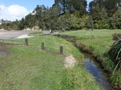
Lawlor Stream, river in New Zealand
Location: Auckland Region
GPS coordinates: -36.99281,174.60085
Latest update: October 29, 2025 18:36
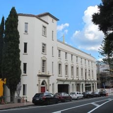
Lopdell House
7.8 km
Lower Nihotupu Reservoir
3.9 km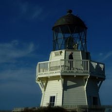
Manukau Heads Lighthouse
8.1 km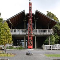
Arataki Visitor Centre
5.1 km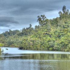
Upper Nihotupu Reservoir
5.8 km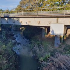
Oratia Stream
9.3 km
Te Uru Waitākere Contemporary Gallery
7.8 km
Te Toiokawharu
5.8 km
Ruaotuwhenua
8.7 km
Mount Donald McLean
6 km
Little Muddy Creek
6.1 km
McCahon House
7.6 km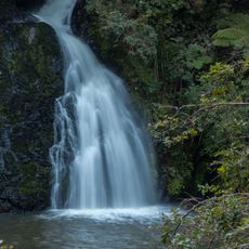
Nihotupu Falls
6.7 km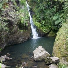
Karamatura Falls
5 km
Mount Atkinson
7.4 km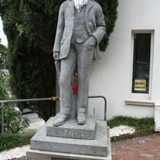
Henry Atkinson Statue
7.8 km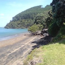
Cornwallis Beach
2.2 km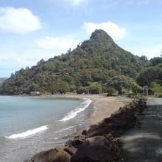
Te Kā-a-Maki / Jackie Hill
4.9 km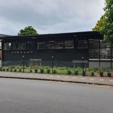
Titirangi Library
7.7 km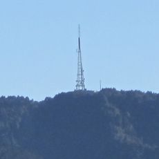
Waiatarua TV Tower
8 km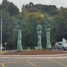
The Bush Markers
7.7 km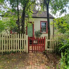
Oratia Folk Museum
9.4 km
Tahurangi / Crum Park
9.1 km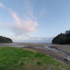
Titirangi Beach
6.9 km
Parkinsons Lookout
8.2 km
Kowhai Reserve
8.5 km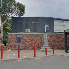
Titirangi War Memorial Hall
7.8 km
Huia Settlers Museum
3.7 kmReviews
Visited this place? Tap the stars to rate it and share your experience / photos with the community! Try now! You can cancel it anytime.
Discover hidden gems everywhere you go!
From secret cafés to breathtaking viewpoints, skip the crowded tourist spots and find places that match your style. Our app makes it easy with voice search, smart filtering, route optimization, and insider tips from travelers worldwide. Download now for the complete mobile experience.

A unique approach to discovering new places❞
— Le Figaro
All the places worth exploring❞
— France Info
A tailor-made excursion in just a few clicks❞
— 20 Minutes