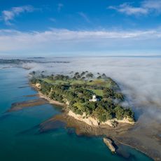
Mangemangeroa Creek, Tidal brook in East Auckland, New Zealand
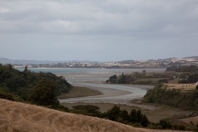
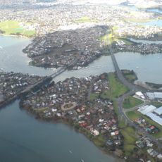
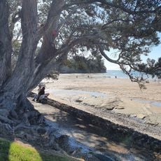
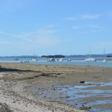
Mangemangeroa Creek flows northward from Mission Heights toward the Waitematā Harbour, widening into an estuary lined with farmland and native trees. The waterway spans several kilometers and transitions from freshwater to tidal conditions as it nears the coast.
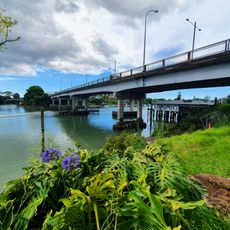
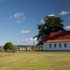
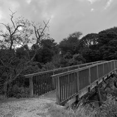
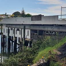
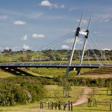
A wooden bridge first spanned the creek in the 1860s with wharfs for ferry services, replaced by a concrete structure in 1935. These changes reflect the gradual development of local transportation infrastructure over time.
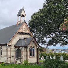
The name Mangemangeroa comes from a vine that the Ngāi Tai people used to make fishing nets and ropes, with this meaning officially recognized in 1991. Today, the creek reflects this connection between traditional knowledge and the local landscape.
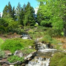
Walking tracks run along the northern and western banks of the creek, connecting Shelly Park to the Mangemangeroa Reserve for nature walks. The paths are generally accessible and suitable for visitors of different ability levels.
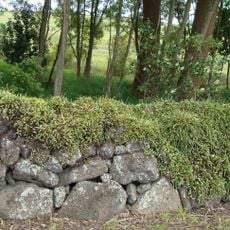
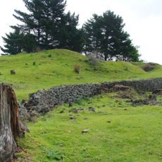
During World War II, the home guard dug defensive trenches along the creek to prepare for a possible invasion, taking advantage of its strategic location. Traces of this wartime engineering remain visible in certain spots along the banks today.
The community of curious travelers
AroundUs brings together thousands of curated places, local tips, and hidden gems, enriched daily by 60,000 contributors worldwide.