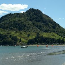
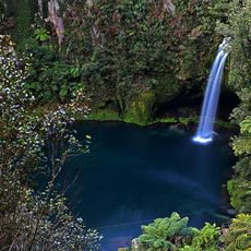
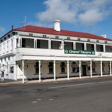
Mount Maunganui, Coastal suburb in Tauranga, New Zealand.
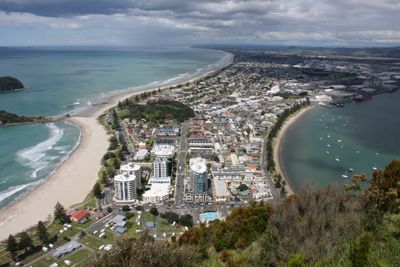
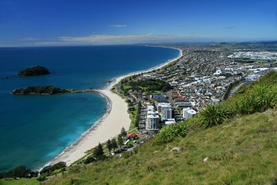
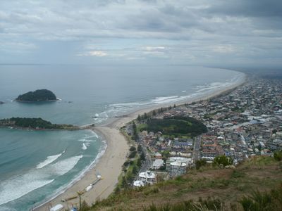
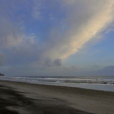
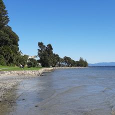
Mount Maunganui sits on a peninsula between Tauranga Harbour and the Pacific Ocean, dominated by a volcanic cone rising 232 meters above sea level. A long sandy beach stretches along the ocean side while the harbor side offers calmer water and smaller bays.
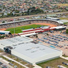
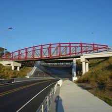
The area grew from a separate settlement into part of Tauranga City after the harbor bridge opened in 1988. This connection made daily travel between both shores easier and changed how people live and work here.
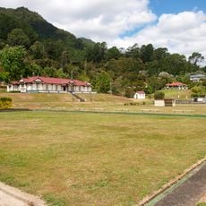
The name Mauao translates to "caught" in the local language, and walking tracks around its base pass historic defense sites from nineteenth-century conflicts. Today families gather on the flat grassy areas near the shore while walkers circle the lower slopes on well-maintained paths that take about forty-five minutes to complete.
Access to the beach comes from several entry points along the coastal road, and parking fills quickly during summer months. Visitors should arrive early in the morning or later in the afternoon to avoid crowds and find better parking options.
The natural formation known as a tombolo connects the mainland to the volcanic hill, creating two different coastlines within a short distance. Swimmers and surfers can shift between rough ocean waves and protected harbor waters within minutes.
The community of curious travelers
AroundUs brings together thousands of curated places, local tips, and hidden gems, enriched daily by 60,000 contributors worldwide.