Enable Location

We need your location to show you interesting places around you

Discover nearby places

Find interesting locations and hidden gems around you

Precise directions

Get accurate directions and distances to places

Your location is never shared with other users. It's only used when you tap the location button.

Lake Rotokawau

Log in to your account

Start exploring — it's free

Trusted by 62,824 travelers worldwide

Continue with Google
Continue with Apple
or

We will send you a code to connect

By continuing, you accept our Terms and Conditions and our Privacy Policy

Check your inbox

We've sent a pincode in your inbox. Please enter the code below.

Lake Rotokawau

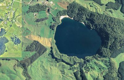
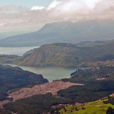
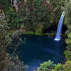
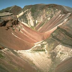
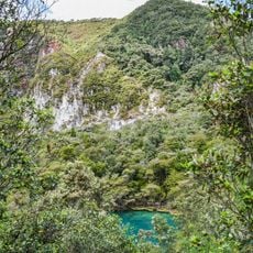
Lake Rotokawau, Maar lake in Bay of Plenty Region, New Zealand.

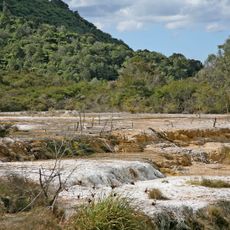
Lake Rotokawau is a crater lake surrounded by steep cliffs in the Bay of Plenty Region. The water body was formed by volcanic forces and today presents a contained basin with distinct walls rising from the shoreline.

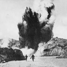
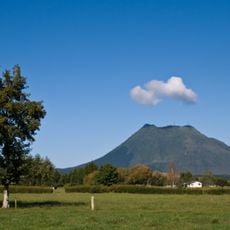
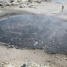
The lake formed roughly 4,000 years ago from a volcanic eruption that created a deep crater. This geological event shaped the surrounding terrain and left behind the steep walls that define the landscape today.

The lake sits on land with deep connections to local Māori communities who maintain a relationship with this water body. The dramatic cliffs surrounding it are part of how people experience and understand the volcanic landscape today.

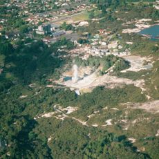
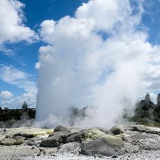
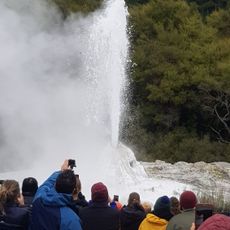
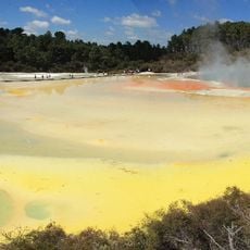
Access to the lake comes via Lake Rotokawau Road, which branches off State Highway 30 near Tikitere. The drive passes through the area near Hell's Gate, making it convenient for visitors exploring the wider Rotorua region.

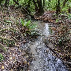
The lake is home to native fish species including koaro and banded kokopu that swim in its depths. These fish are part of the natural ecosystem that thrives in the crater's protected environment.

The community of curious travelers

AroundUs brings together thousands of curated places, local tips, and hidden gems, enriched daily by 60,000 contributors worldwide.

Start exploring
Location
Elevation above the sea
330 m
Length
920 m
Width
710 m
GPS coordinates
-38.07278,176.37694
Latest update
December 14, 2025 17:00
« Lake Rotokawau - Maar lake in Bay of Plenty Region, New Zealand » is provided by Around Us (aroundus.com). Images and texts are derived from Wikimedia project under a Creative Commons license. You are allowed to copy, distribute, and modify copies of this page, under the conditions set by the license, as long as this note is clearly visible.

Discover hidden gems everywhere you go!

From secret cafés to breathtaking viewpoints, skip the crowded tourist spots and find places that match your style. Our app makes it easy with voice search, smart filtering, route optimization, and insider tips from travelers worldwide. Download now for the complete mobile experience.

Around Us App Screenshot

A unique approach to discovering new places

Le Figaro

All the places worth exploring

France Info

A tailor-made excursion in just a few clicks

20 Minutes

Around Us
Travel Guide & Maps
Download

Send to your phone

QR Code
1

Open the camera app on your mobile.

2

Point at the QR code with your camera. A notification will appear.

3

Tap the notification to open the link.