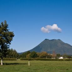
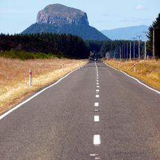
Mount Tarawera, Stratovolcano in North Island, New Zealand.
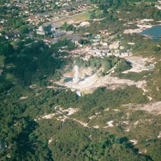
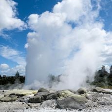
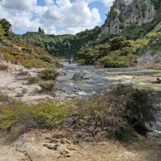
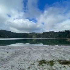
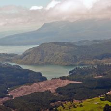
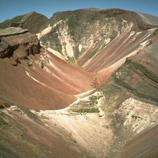
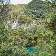
Mount Tarawera is a volcano 24 kilometres southeast of Rotorua on New Zealand's North Island, within the Ōkataina Caldera. It consists of rhyolitic lava domes, including Ruawahia Dome (1,111 metres), Tarawera Dome and Wahanga Dome, split by a fissure running about 17 kilometres northeast–southwest. Lakes Tarawera, Rotomahana and Rerewhakaaitu lie at its foot.
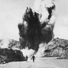
In June 1886, the volcano erupted and opened a fissure about 17 kilometers (10.5 miles) long through several peaks. The eruption killed over 150 people and buried multiple Māori settlements under ash and mud.
Local Māori consider the mountain a sacred place, and its name derives from the words for burnt peaks. Visitors wishing to enter the area must respect the spiritual connection of Ngāti Rangitihi to this land and follow their protocols.
Access requires permission from the Ngāti Rangitihi tribe, who own the mountain. Visitors can explore the area with authorized guides who also provide information about safety and navigation on the terrain.
The Pink and White Terraces were long thought destroyed in 1886, but in 2016–2019 a previously unknown 1859 survey by Ferdinand von Hochstetter was deciphered, and a small portion of the Pink Terraces was reportedly rediscovered under Lake Rotomahana. The eruption also carved the 17 km fissure through the domes.
The community of curious travelers
AroundUs brings together thousands of curated places, local tips, and hidden gems, enriched daily by 94,118 contributors worldwide.