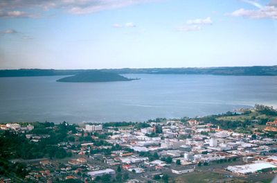
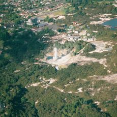
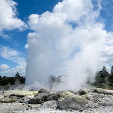
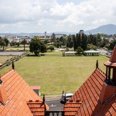
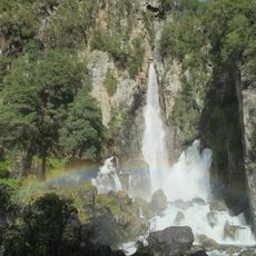
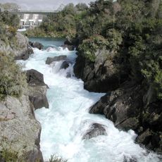
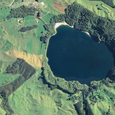
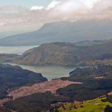
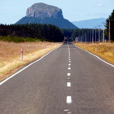
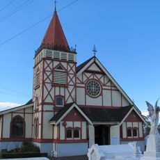
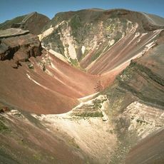
Rotorua District, territorial authority district of New Zealand
The community of curious travelers
AroundUs brings together thousands of curated places, local tips, and hidden gems, enriched daily by 60,000 contributors worldwide.
Location
Capital city
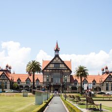
Rotorua
Shares border with
Taupo District, Whakatāne District, Western Bay of Plenty District, South Waikato District
Website
GPS coordinates
-38.23000,176.27800
Latest update
March 7, 2025 12:11