
Trentham Cliffs, locality in New South Wales, Australia
Location: Wentworth Shire Council
GPS coordinates: -34.21500,142.25111
Latest update: March 10, 2025 21:40
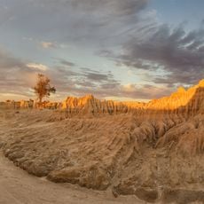
Mungo National Park
87.7 km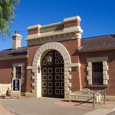
Wentworth Gaol
33.5 km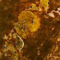
Willandra Lakes Region
89.2 km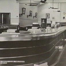
Longest bar in Australia
8.9 km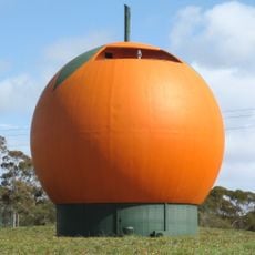
Big Orange
150.1 km
Murray-Sunset National Park
87.9 km
Wyperfeld National Park
159.3 km
Hattah - Kulkyne National Park
52.3 km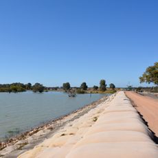
Lake Victoria
93.4 km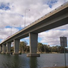
George Chaffey Bridge
8 km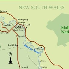
Mallee Cliffs National Park
20 km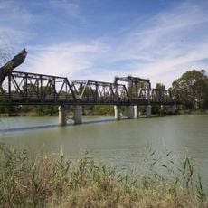
Abbotsford Bridge
26.7 km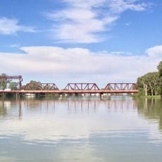
Paringa Bridge
135.9 km
Australian Inland Botanic Gardens
13.3 km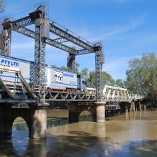
Tooleybuc Bridge
134.6 km
Calperum Station
161.6 km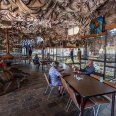
Woodsies Gem Shop
4.2 km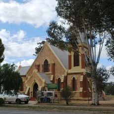
St John's Anglican Church, Wentworth
33 km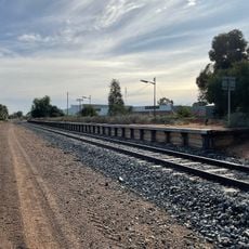
Irymple railway station
7.9 km
Balranald Discovery Centre
129.6 km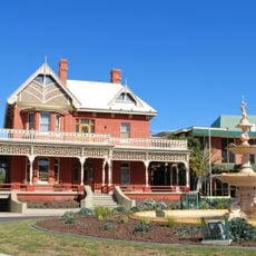
Mildura Arts Centre
9.5 km
Olivewood-National Trust
139.6 km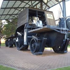
Big Lizzie
11.9 km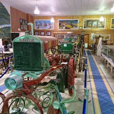
Wentworth Pioneer Museum
33.5 km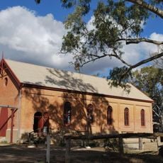
Psyche Bend Pumping Station
4.7 km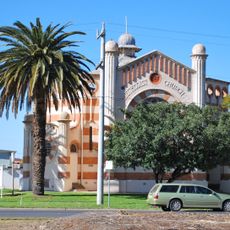
Methodist church
9 km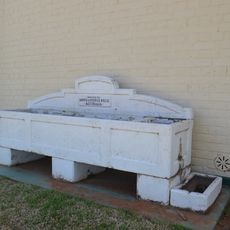
Horse trough
129.6 km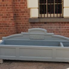
Horse trough
33.5 kmReviews
Visited this place? Tap the stars to rate it and share your experience / photos with the community! Try now! You can cancel it anytime.
Discover hidden gems everywhere you go!
From secret cafés to breathtaking viewpoints, skip the crowded tourist spots and find places that match your style. Our app makes it easy with voice search, smart filtering, route optimization, and insider tips from travelers worldwide. Download now for the complete mobile experience.

A unique approach to discovering new places❞
— Le Figaro
All the places worth exploring❞
— France Info
A tailor-made excursion in just a few clicks❞
— 20 Minutes