Murrumbidgee Irrigation Area, Irrigation scheme in New South Wales, Australia
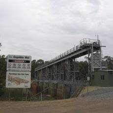
The Murrumbidgee Irrigation Area is an irrigation scheme in New South Wales that supplies over 660,000 hectares of farmland with water from the Murrumbidgee River. A network of dams and canals carries water from Burrinjuck Dam and the Tumut River through Blowering Dam to agricultural fields across the region.
Development of the system began in 1903 following a Royal Commission and was formally established in 1912 after the Burrinjuck Dam was built. This project transformed the region and made more intensive farming possible in a naturally dry area.
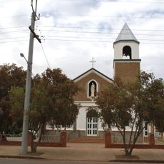
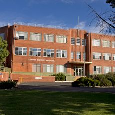
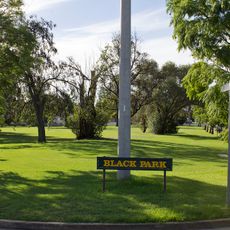
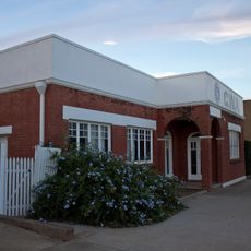
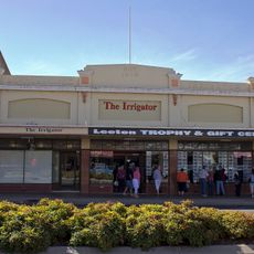
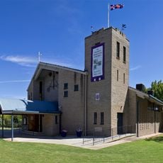
The towns of Leeton and Griffith were built specifically for this irrigation project and remain centers of farming life today. Local communities see their identity tied closely to the water and crops that define their region.
Visitors can explore the various dams and canals that distribute water across the landscape and see the farmland they support in action. The best time to visit is outside the hottest months of summer, when the fields are less intensely managed and easier to navigate.
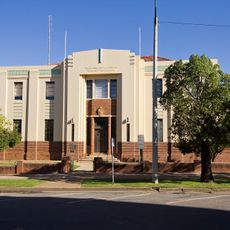
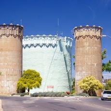
American architect Walter Burley Griffin, famous for designing Canberra, laid out the towns of Leeton and Griffith in 1914. His urban planning brought an unusual level of thoughtful design to these remote agricultural communities.
The community of curious travelers
AroundUs brings together thousands of curated places, local tips, and hidden gems, enriched daily by 60,000 contributors worldwide.