
Coledale, locality in New South Wales, Australia
Location: Wollongong City Council
GPS coordinates: -34.29192,150.94436
Latest update: April 14, 2025 09:58

Sea Cliff Bridge
5 km
Cataract Dam
13.3 km
Bald Hill
9 km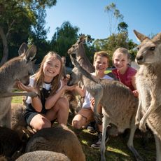
Symbio Wildlife Park
9.9 km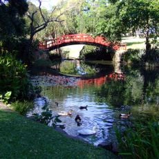
Wollongong Botanic Garden
14.5 km
Dharawal National Park
13.2 km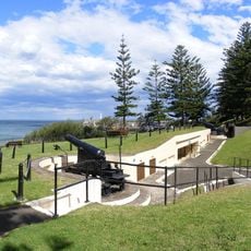
Smiths Hill Fort
14.4 km
Balgownie Migrant Workers Hostel
12.4 km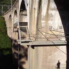
Stanwell Park Rail Viaduct over Stanwell Creek
7.4 km
Gleniffer Brae
14.6 km
Southern Gateway Centre
4.3 km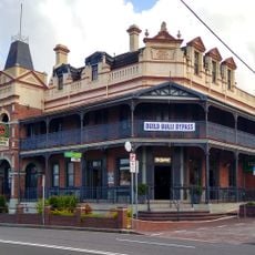
Heritage Hotel, Bulli
5.5 km
Bulli Jetty, Sandon Point, New South Wales
4.5 km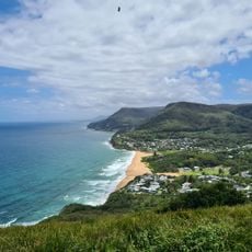
Stanwell Park Beach
7.7 km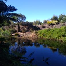
Illawarra Grevillea Park
5.3 km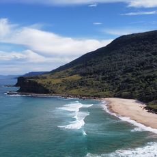
Burning Palms Beach
14.9 km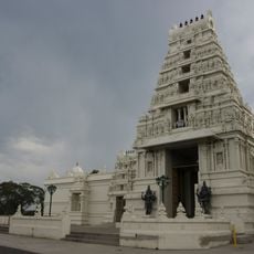
Sri Venkateswara Temple
9.5 km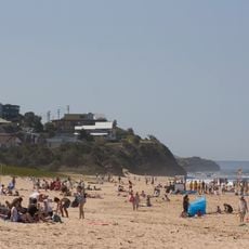
Thirroul Beach
3.1 km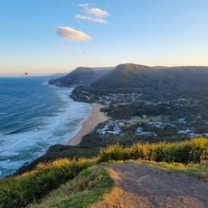
Bald Hill Lookout
9 km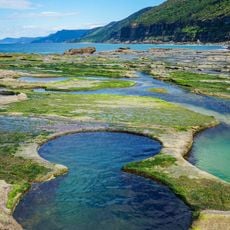
Figure Eight Pools
13.9 km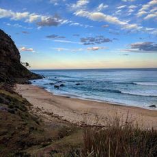
Werrong Beach
12 km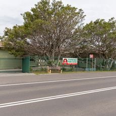
Scarborough Public School
3.5 km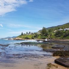
Wombarra Beach
1.3 km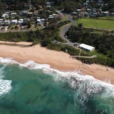
Scarborough Beach
2.5 km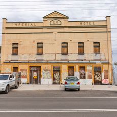
Imperial Hotel
4.1 km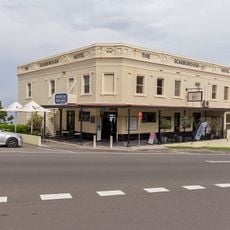
Scarborough Hotel
3 km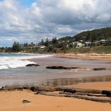
Scarborough Beach
2.4 km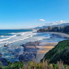
Little Austinmer Beach
1.4 kmReviews
Visited this place? Tap the stars to rate it and share your experience / photos with the community! Try now! You can cancel it anytime.
Discover hidden gems everywhere you go!
From secret cafés to breathtaking viewpoints, skip the crowded tourist spots and find places that match your style. Our app makes it easy with voice search, smart filtering, route optimization, and insider tips from travelers worldwide. Download now for the complete mobile experience.

A unique approach to discovering new places❞
— Le Figaro
All the places worth exploring❞
— France Info
A tailor-made excursion in just a few clicks❞
— 20 Minutes