City of Penrith, Local government area in Western Sydney, Australia.
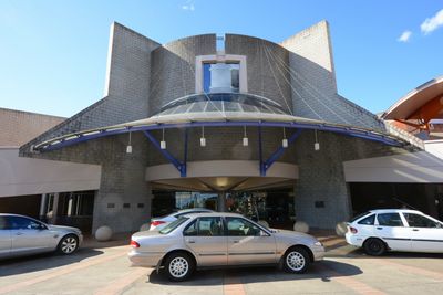
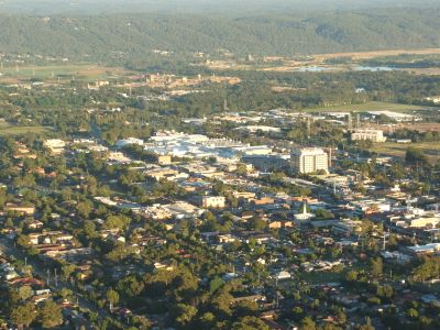
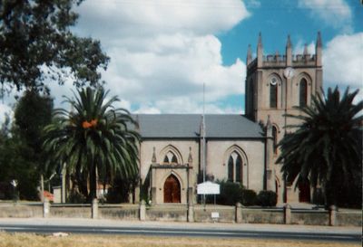
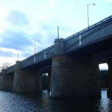
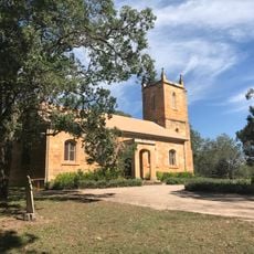
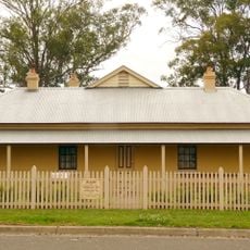
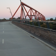
The City of Penrith is a local government area in Western Sydney that spans across residential neighborhoods and commercial districts along a river valley. The region contains both established urban centers and more open areas closer to the mountains.
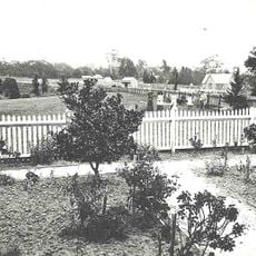
The area formed from several smaller municipalities that merged during the mid-twentieth century into a single administrative unit. This consolidation created the modern local government structure that serves the region today.
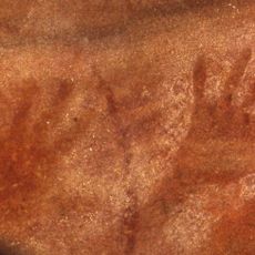
The name Penrith reflects the heritage of the original inhabitants whose connection to the land shaped the region's character. Walking through different neighborhoods, you can see how this recognition influences local planning and community events.
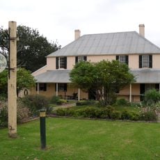
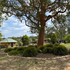
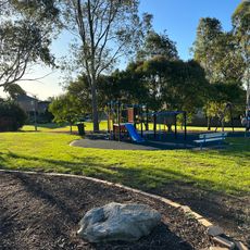
The area is accessible from multiple directions and offers standard services and facilities found in established communities. Visitors will find a mix of urban conveniences alongside parks and public spaces throughout the region.
The region maintains connections with partner cities in other parts of the world that visitors might not expect to find. These relationships show how local areas connect with communities far beyond their immediate surroundings.
Location: New South Wales
Location: Sydney
Capital city: Penrith
Elevation above the sea: 31 m
Phone: +61247327777
Email: pencit@penrithcity.nsw.gov.au
Website: http://penrithcity.nsw.gov.au
GPS coordinates: -33.75000,150.70000
Latest update: December 7, 2025 19:23
Penrith Stadium
1.5 km
Lennox Bridge, Glenbrook
6.3 km
Victoria Bridge
1.7 km
Glenbrook Tunnel
6.5 km
Mamre, St Marys
7.7 km
Clydesdale, Marsden Park
12.4 km
St Thomas' Anglican Church, Mulgoa
9.8 km
The Manse, Mount Druitt
10.7 km
Red Hands Cave
10.7 km
Emu Plains Underbridge
1.7 km
Yandhai Nepean Crossing
1.8 km
Neoblie
11.2 km
Glenbrook Native Plant Reserve
7.1 km
Valley Heights railway gatehouse
11.1 km
Penrith Museum of Printing
1.3 km
Museum of Fire
676 m
38 Greendale Road, Wallacia
14.3 km
Willmington Reserve
14.6 km
Luddenham Uniting Church
14.6 km
Hi-Quality Wallacia Quarry
15.2 km
Luddenham Progress Hall
14.6 km
St James Anglican Church
14.8 km
Mulgoa Road Conservation Area
13.8 km
Robinson Park
1.7 km
Glenbrook Park
7.8 km
Freeburn Park
14.4 km
St Marys Library
7.1 km
Blaxland Library
8.1 kmReviews
Visited this place? Tap the stars to rate it and share your experience / photos with the community! Try now! You can cancel it anytime.
Discover hidden gems everywhere you go!
From secret cafés to breathtaking viewpoints, skip the crowded tourist spots and find places that match your style. Our app makes it easy with voice search, smart filtering, route optimization, and insider tips from travelers worldwide. Download now for the complete mobile experience.
A unique approach to discovering new places❞
— Le Figaro
All the places worth exploring❞
— France Info
A tailor-made excursion in just a few clicks❞
— 20 Minutes