
Military Road Framework - Defence Land
Military Road Framework - Defence Land, historic commonwealth heritage site in Georges Heights NSW
Location: New South Wales
Address: Middle Head Rd, Georges Heights NSW
GPS coordinates: -33.82811,151.26129
Latest update: April 15, 2025 03:29
Taronga Zoo
2.5 km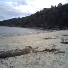
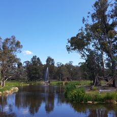
Obelisk Beach
180 m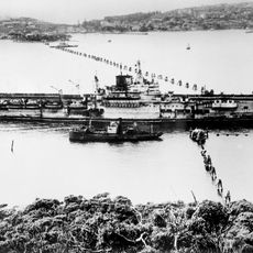
Sydney Harbour anti-submarine boom net
2.1 km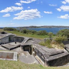
Middle Head Fortifications
628 m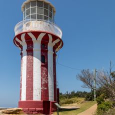
Hornby Lighthouse
1.9 km
Sydney Harbour defences
1.3 km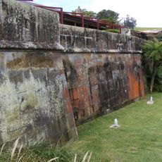
Georges Head Battery
983 m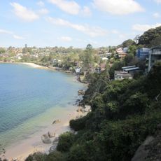
Igloo House
2.3 km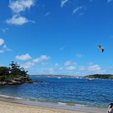
Balmoral Beach
1.1 km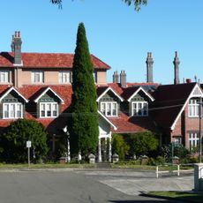
The Manor, Mosman
1.9 km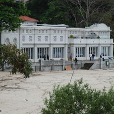
Balmoral Bathers Pavilion
1.2 km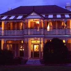
Boronia House, Mosman, Sydney
2.1 km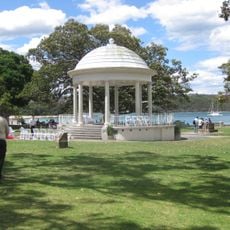
Rotunda at Balmoral Beach, Sydney
1.1 km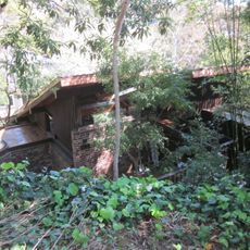
Woolley House
2.3 km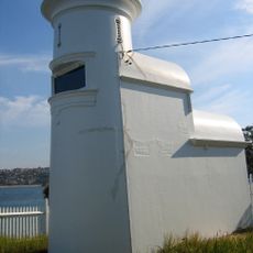
Grotto Point Light
1.2 km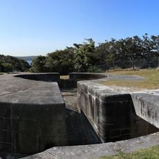
Steel Point Battery
2.6 km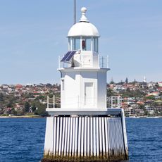
Western Channel Pile Light
1.4 km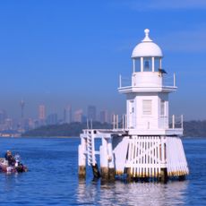
Eastern Channel Pile Light
1.8 km
28 Mistral Avenue, Mosman
2.2 km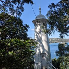
Parriwi Head Light
2.3 km
42 Cowles Road, Mosman
2.2 km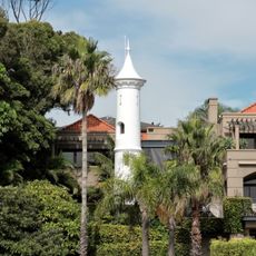
Vaucluse Bay Range Front Light
2.7 km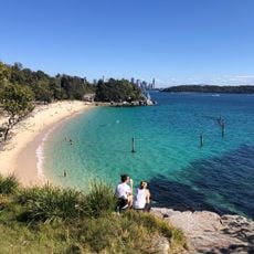
Shark Beach
2.6 km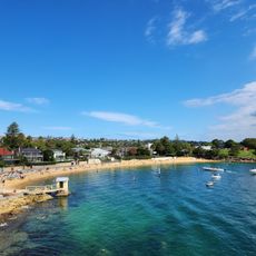
Camp Cove Beach
2.1 km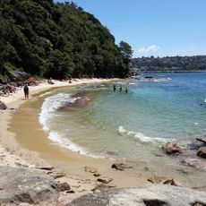
Cobblers Beach
249 m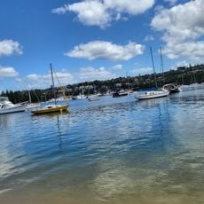
Clontarf Beach
2.5 km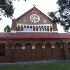
Blessed Sacrament Church
1.6 km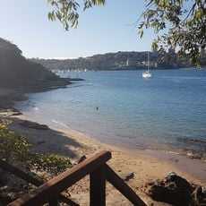
Reef Beach
2.6 kmReviews
Visited this place? Tap the stars to rate it and share your experience / photos with the community! Try now! You can cancel it anytime.
Discover hidden gems everywhere you go!
From secret cafés to breathtaking viewpoints, skip the crowded tourist spots and find places that match your style. Our app makes it easy with voice search, smart filtering, route optimization, and insider tips from travelers worldwide. Download now for the complete mobile experience.

A unique approach to discovering new places❞
— Le Figaro
All the places worth exploring❞
— France Info
A tailor-made excursion in just a few clicks❞
— 20 Minutes