
Castlecrag, suburb of Sydney, New South Wales, Australia
Location: Willoughby City Council
GPS coordinates: -33.80035,151.21978
Latest update: June 5, 2025 21:31
Spit Bridge
2.5 km
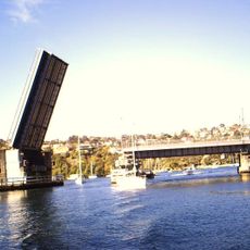
Long Gully Bridge
2 km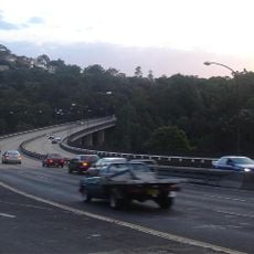
Roseville Bridge
3.4 km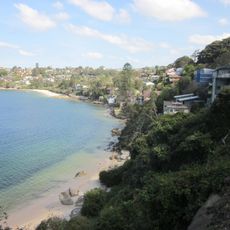
Igloo House
2.8 km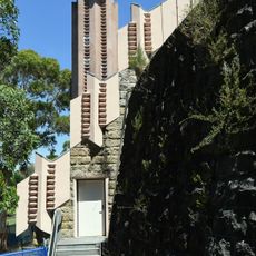
Walter Burley Griffin Incinerator
2.1 km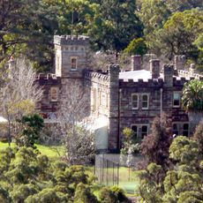
Innisfallen Castle and grounds
1.1 km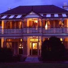
Boronia House, Mosman, Sydney
3.2 km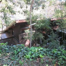
Woolley House
2.6 km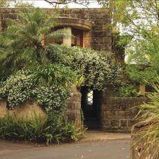
Fishwick House
111 m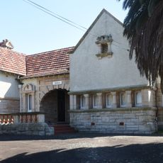
Hilton, Chatswood
3.3 km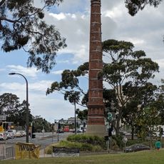
North Sydney Sewer Vent
3.3 km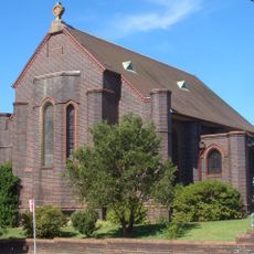
Naremburn Cammeray Anglican Church
2.7 km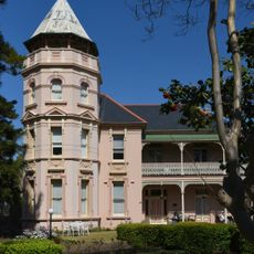
Windsor Gardens, Chatswood
2.8 km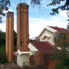
Walter Burley Griffin Incinerator
2.1 km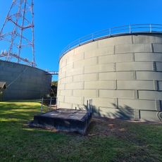
Chatswood Reservoirs No. 1 and No. 2
3.7 km
Alma House
3.2 km
Laurelbank
1.9 km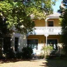
Tarella
2.7 km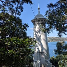
Parriwi Head Light
2.8 km
42 Cowles Road, Mosman
3.4 km
Egglemont
3.6 km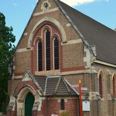
St John's Uniting Church, Neutral Bay
3.6 km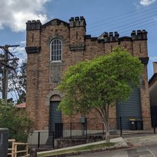
Cammeray Substation
2.2 km
Belvedere
3.6 km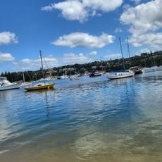
Clontarf Beach
3 km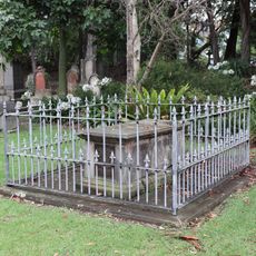
Grave of Merion Marshall Moriarty M.D., Sylverius Moriarty, and Anne Moriarty
2.9 km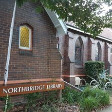
Northbridge Library
1.3 km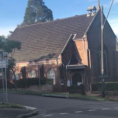
Artarmon Library
3.2 kmReviews
Visited this place? Tap the stars to rate it and share your experience / photos with the community! Try now! You can cancel it anytime.
Discover hidden gems everywhere you go!
From secret cafés to breathtaking viewpoints, skip the crowded tourist spots and find places that match your style. Our app makes it easy with voice search, smart filtering, route optimization, and insider tips from travelers worldwide. Download now for the complete mobile experience.

A unique approach to discovering new places❞
— Le Figaro
All the places worth exploring❞
— France Info
A tailor-made excursion in just a few clicks❞
— 20 Minutes