Enable Location

We need your location to show you interesting places around you

Discover nearby places

Find interesting locations and hidden gems around you

Precise directions

Get accurate directions and distances to places

Your location is never shared with other users. It's only used when you tap the location button.

Maitland

Log in to your account

Start exploring — it's free

Trusted by 62,292 travelers worldwide

Continue with Google
Continue with Apple
or

We will send you a code to connect

By continuing, you accept our Terms and Conditions and our Privacy Policy

Check your inbox

We've sent a pincode in your inbox. Please enter the code below.

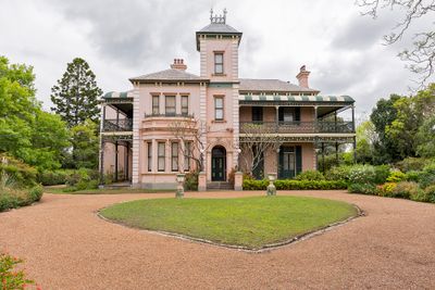
Maitland, Administrative center in Hunter Valley, New South Wales, Australia.

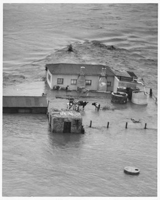
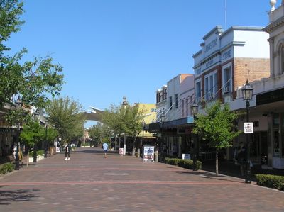
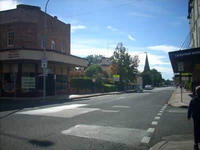
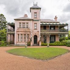
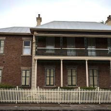
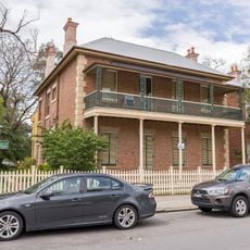
Maitland is a town in the Hunter Valley that spreads along the Hunter River, protected by levees from flooding. The main business and administrative area sits on the right bank of the river.

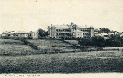
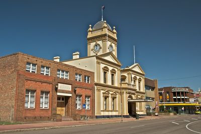
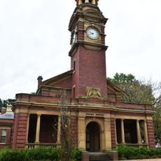
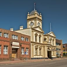
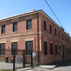
The area was originally named Wallis Plains in 1818 and developed into a township in 1829 with government buildings, shops, and a wharf supporting river trade. This infrastructure made it the regional administrative hub it remains today.

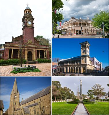
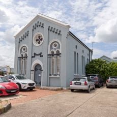
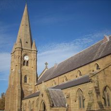
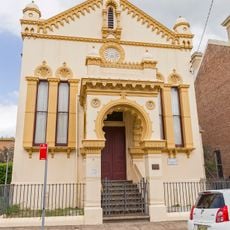
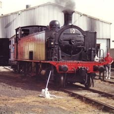
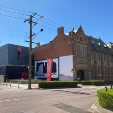
The Maitland Regional Art Gallery exhibits local artworks in a dedicated facility, while the Hunter Valley Steamfest celebrates industrial heritage each year.

The New England Highway connects the town to Newcastle, located about 35 kilometers away. Regular train services link it to other centers across the region.

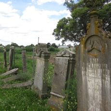
The Jewish Cemetery was established in the mid-1800s and is one of only two provincial Jewish burial grounds in New South Wales. This site preserves a little-known chapter of early Jewish settlement in the region.

The community of curious travelers

AroundUs brings together thousands of curated places, local tips, and hidden gems, enriched daily by 60,000 contributors worldwide.

Start exploring
Location
Location
Location
Elevation above the sea
16 m
Part of
Newcastle - Maitland
Shares border with
Gillieston Heights, Rutherford, Louth Park, South Maitland, East Maitland, Mount Dee, Horseshoe Bend, Pitnacree, Lorn, Oakhampton, Telarah
GPS coordinates
-32.73167,151.55111
Latest update
December 14, 2025 19:48
« Maitland - Administrative center in Hunter Valley, New South Wales, Australia » is provided by Around Us (aroundus.com). Images and texts are derived from Wikimedia project under a Creative Commons license. You are allowed to copy, distribute, and modify copies of this page, under the conditions set by the license, as long as this note is clearly visible.

Discover hidden gems everywhere you go!

From secret cafés to breathtaking viewpoints, skip the crowded tourist spots and find places that match your style. Our app makes it easy with voice search, smart filtering, route optimization, and insider tips from travelers worldwide. Download now for the complete mobile experience.

Around Us App Screenshot

A unique approach to discovering new places

Le Figaro

All the places worth exploring

France Info

A tailor-made excursion in just a few clicks

20 Minutes

Around Us
Travel Guide & Maps
Download

Send to your phone

QR Code
1

Open the camera app on your mobile.

2

Point at the QR code with your camera. A notification will appear.

3

Tap the notification to open the link.