
Ebor, locality in New South Wales, Australia
Location: Armidale Regional Council
GPS coordinates: -30.40111,152.35111
Latest update: March 4, 2025 01:30
Oxley Wild Rivers National Park
63.3 km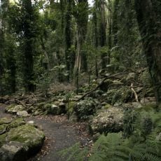
Dorrigo National Park
38.5 km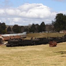
Dorrigo Steam Railway and Museum
35 km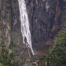
Wollomombi Falls
33.2 km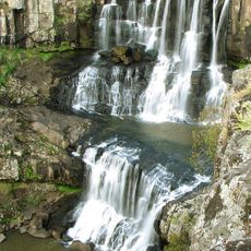
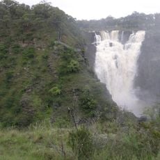
Ebor Falls
726 m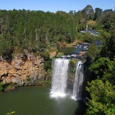
Dangar Falls
35.9 km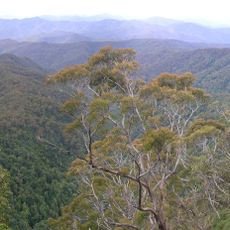
New England National Park
24.4 km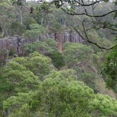
Guy Fawkes River National Park
41.4 km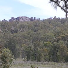
Cathedral Rock National Park
14.5 km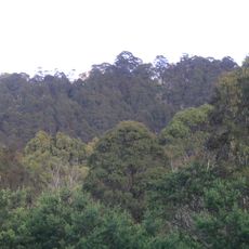
Round Mountain
11.4 km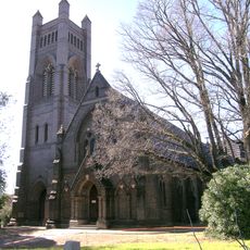
St Peter's Cathedral, Armidale
67 km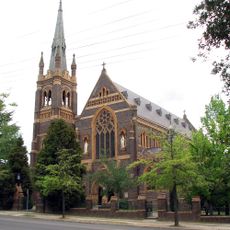
Saints Mary and Joseph Catholic Cathedral
67.2 km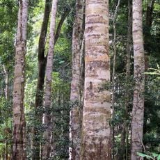
Nymboi-Binderay National Park
44.2 km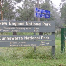
Cunnawarra National Park
19.8 km
Bindarri National Park
56.8 km
Armidale Post Office
66.8 km
Hammond and Wheatley Commercial Emporium
52.6 km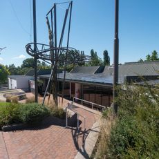
New England Regional Art Museum
67.3 km
Dunggir National Park
41.7 km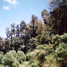
Mount Hyland Nature Reserve
28.3 km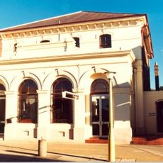
Commercial Bank of Australia Building, Armidale
66.9 km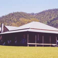
Kunderang East Pastoral Station
58.9 km
Roseneath, Armidale
67.3 km
Dangarsleigh War Memorial
67.4 km
Dorrigo Library
35.4 km
Bellingen Library
52.8 km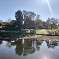
George Edmunds Reserve
52.8 km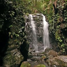
Gondwana Rainforests (extension)
36.6 kmReviews
Visited this place? Tap the stars to rate it and share your experience / photos with the community! Try now! You can cancel it anytime.
Discover hidden gems everywhere you go!
From secret cafés to breathtaking viewpoints, skip the crowded tourist spots and find places that match your style. Our app makes it easy with voice search, smart filtering, route optimization, and insider tips from travelers worldwide. Download now for the complete mobile experience.

A unique approach to discovering new places❞
— Le Figaro
All the places worth exploring❞
— France Info
A tailor-made excursion in just a few clicks❞
— 20 Minutes