Wollomombi Falls, Plunge waterfall in New England region, New South Wales, Australia
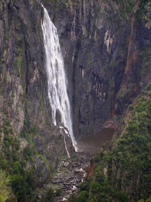
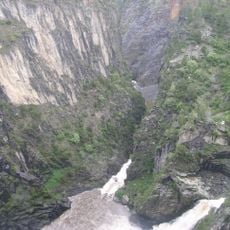
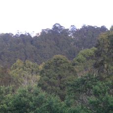
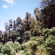
Wollomombi Falls is a waterfall in the New England region of New South Wales that plunges down a steep cliff face with a drop of about 230 meters, creating a powerful stream flowing into the valley below. The site sits within a gorge system with several viewing platforms accessible via a marked walking track that includes a steel bridge crossing the river.
The waterfall was long believed to be Australia's highest but was reassessed through modern geographical surveys. This reappraisal revealed its position among the country's tallest cascades and updated previous geographic records.
The name Wollomombi comes from the Aboriginal language of the region's original inhabitants and reflects their long presence in this landscape. The site holds importance for local communities and is recognized today as a place connected to indigenous heritage.
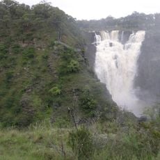
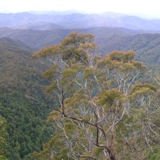
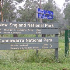
The site is best explored on foot via the Wollomombi Walking Track, which is well marked and accessible for most visitors. The path takes you through several viewing platforms where water flow appears strongest, especially after heavy rainfall when volume increases.
The cascade merges with neighboring Chandler Falls at the confluence where two rivers meet, creating a rare dual waterfall system within the gorge. This joining of two waterfall streams at the same location is unusual in the terrain and makes the spot particularly worth photographing.
The community of curious travelers
AroundUs brings together thousands of curated places, local tips, and hidden gems, enriched daily by 60,000 contributors worldwide.