Culgoa Floodplain National Park, National park with floodplain ecosystem in Queensland, Australia.
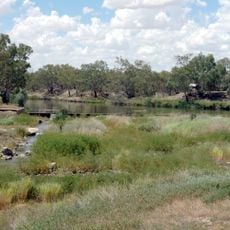
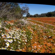
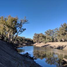
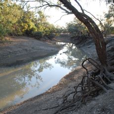
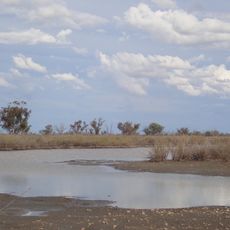
Culgoa Floodplain National Park covers 42,859 hectares on the former Byra Station grazing property, about 630 km west of Brisbane. Its eastern tip borders the Culgoa River, whose floods spread across the floodplain, while the west drains into Nebine Creek. Woodlands of black box, brigalow and gidgee grow on the plains, and water from the Great Artesian Basin rises in places to form muddy pools.
The area became protected in 1994 on the grounds of the former Byra Station pastoral property and expanded in 2008. This enlargement allowed more of this ecologically important river region to receive safeguards.
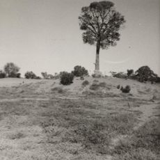
The land holds deep meaning for Aboriginal people, with scattered evidence of their long presence through tools and cooking areas visible across the park. These traces tell stories of traditional ways that guided generations through this country.
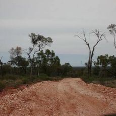
A four-wheel-drive vehicle is needed to reach this park, and visitors must bring all their own supplies since no facilities are available on site. Camping is allowed, but it requires good planning and independence from basic conveniences.
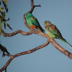
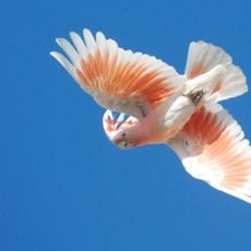
The park's woodland is not uniform: black box and grasses line the Culgoa River floodplain, brigalow and gidgee grow on the central plains, and mulga and Pterocarpus cover the western rises. This mix of habitats is why 150 bird species have been recorded here.
The community of curious travelers
AroundUs brings together thousands of curated places, local tips, and hidden gems, enriched daily by 94,036 contributors worldwide.