Gundabooka National Park, Nature reserve in Bourke Shire Council, Australia.
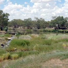
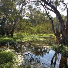
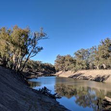
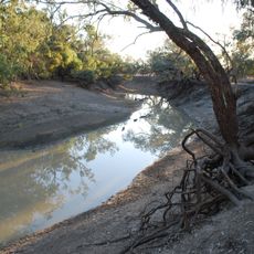
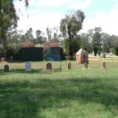
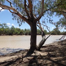
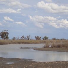
Gundabooka National Park covers 63,902 hectares about 70 kilometres south of Bourke, next to the Darling River and Toorale National Park. Its landscape is dominated by large open plains, stretches of grassy woodland and rust-coloured rocky cliffs, with Mount Gunderbooka and the Gunderbooka Range rising within the park.
Charles Sturt explored the Darling River valley and found the Gunderbooka Range in 1829. A sheep station was set up on the Darling below the range in 1857. After World War I, land in the range was allotted to returning soldiers, who started small sheep stations; three of them, Ben Lomond, Belah and Mulgowan, are now part of the park. The Gunderbooka Range area was declared a national park in 1996.
The Ngemba people have maintained deep ties to this land and gather at ceremonial sites scattered throughout it. Visitors can see rock art at several locations that reflect this enduring connection to the landscape.
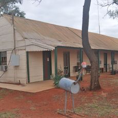
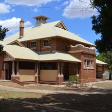
The park has camping areas for caravans and tents as well as several walking tracks of varying difficulty. Historic Redbank Homestead offers accommodation as an alternative to camping and is accessible via tracks through the park.
The Valley of the Eagles walk takes visitors through terrain with significant elevation changes that create shifting views of the landscape. This route reveals the variety of landforms throughout the park and is popular with those seeking active exploration.
The community of curious travelers
AroundUs brings together thousands of curated places, local tips, and hidden gems, enriched daily by 93,767 contributors worldwide.