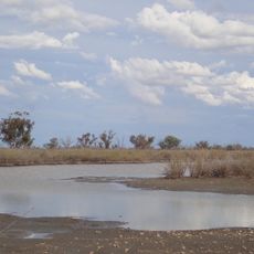
Toorale National Park, National park with wetlands in New South Wales, Australia
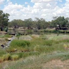
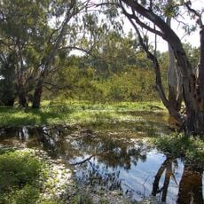
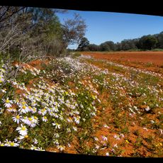
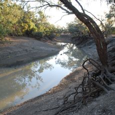
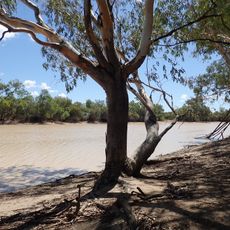
Toorale National Park covers 30,866 hectares about 80 kilometres southwest of Bourke, where the Warrego River joins the Darling River. The land is broadly flat, with floodplains, low ridges, riparian strips, two notable peaks and small ephemeral lakes called gilgais in depressions and swamps. River red gum forest lines the Darling's banks and inner bends, while coolibah woodland follows the outer bends.
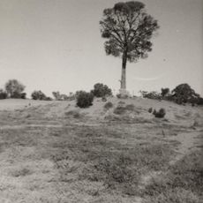
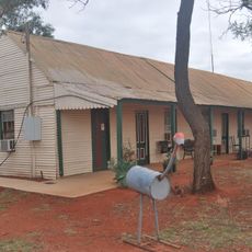
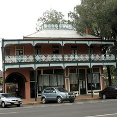
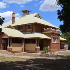
Toorale Station was founded as a sheep grazing property in 1857 and at one time ran one of the largest sheep flocks in the world. The state bought the property in 2008, and the land became Toorale National Park, managed jointly with the Kurnu-Baakandji people.
The park lies within the traditional country of the Kurnu-Baakandji, and the area west of the Warrego River is managed by a local Aboriginal council. More than 500 recorded Aboriginal sites lie in the park, among them scarred trees, stone quarries, worked stone, burial artefacts and camp sites with fireplaces and shell or snail middens.
The Darling River campground, known as Yapara Paaka Thuru, offers riverside camping, while the Many Big Rocks area is set up for picnicking. Conditions can vary greatly depending on the season and recent rainfall, so check ahead before visiting.
More than two dozen distinct plant communities thrive across this park, including river red gum forests and inland shrublands adapted to flooding. This variety exists because different water levels and soil types create the right conditions for different kinds of vegetation.
The community of curious travelers
AroundUs brings together thousands of curated places, local tips, and hidden gems, enriched daily by 93,784 contributors worldwide.