
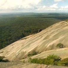
Cataract National Park, national park in Australia
Location: Tenterfield Shire Council
Operator: NSW National Parks and Wildlife Service
GPS coordinates: -28.72733,152.33659
Latest update: April 1, 2025 19:43
Granite Belt
40.3 km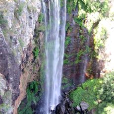
Queen Mary Falls
43.3 km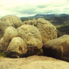
Girraween National Park
40.6 km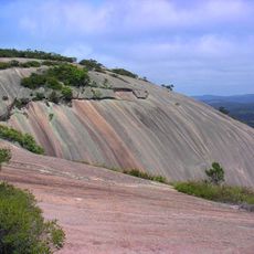
Bald Rock National Park
30.3 km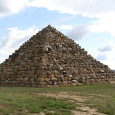
Ballandean Pyramid
48.4 km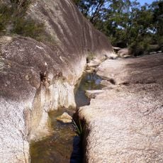
Boonoo Boonoo National Park
21.7 km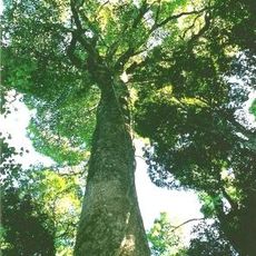
Tooloom National Park
32.8 km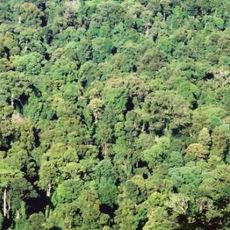
Toonumbar National Park
46.9 km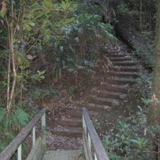
Richmond Range National Park
39.7 km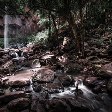
Browns Falls
42.2 km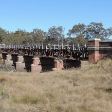
Tenterfield Creek railway bridge, Sunnyside
47.4 km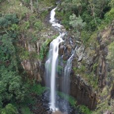
Daggs Falls
43.1 km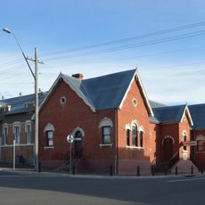
Tenterfield School of Arts
47.9 km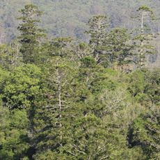
Mallanganee National Park
45.9 km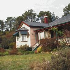
El Arish, Stanthorpe
39.6 km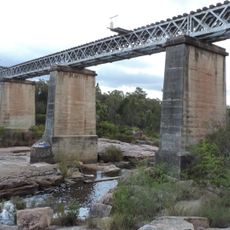
Quart Pot Creek Rail Bridge
39.2 km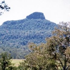
Wilsons Peak Flora Reserve
54.6 km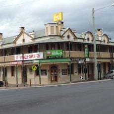
Central Hotel, Stanthorpe
40.1 km
Stanthorpe Post Office
40.1 km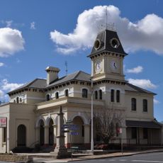
Tenterfield Post Office
47.9 km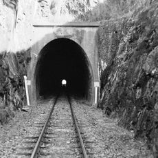
Cherry Gully Tunnel
46.4 km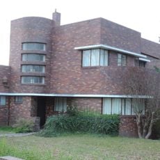
Masel Residence
39.8 km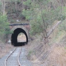
Dalveen Tunnel
43.8 km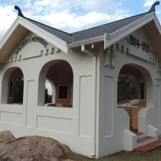
Stanthorpe Soldiers Memorial
39.5 km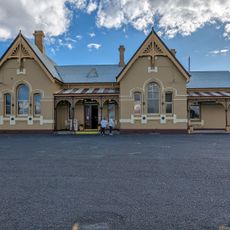
Tenterfield
48.8 km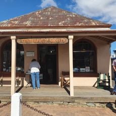
Tenterfield Saddler
47.7 km
School of Arts
47.9 km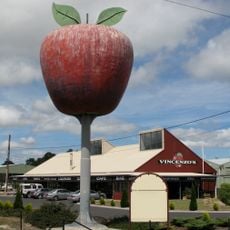
Big Apple
42.5 kmReviews
Visited this place? Tap the stars to rate it and share your experience / photos with the community! Try now! You can cancel it anytime.
Discover hidden gems everywhere you go!
From secret cafés to breathtaking viewpoints, skip the crowded tourist spots and find places that match your style. Our app makes it easy with voice search, smart filtering, route optimization, and insider tips from travelers worldwide. Download now for the complete mobile experience.

A unique approach to discovering new places❞
— Le Figaro
All the places worth exploring❞
— France Info
A tailor-made excursion in just a few clicks❞
— 20 Minutes