
Jirramun National Park, taman nasional
Location: Queensland
Elevation above the sea: 701 m
GPS coordinates: -28.25000,152.50000
Latest update: April 26, 2025 07:04

Queen Mary Falls
16 km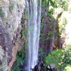
Main Range National Park
42.7 km
Mount Barney National Park
17.3 km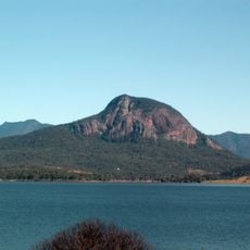
Moogerah Peaks National Park
25.8 km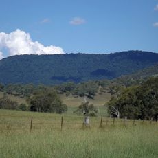
Mount Chinghee National Park
44.3 km
Tooloom National Park
22.8 km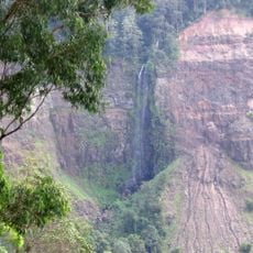
Teviot Falls
2.4 km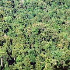
Toonumbar National Park
35.8 km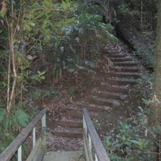
Richmond Range National Park
43.8 km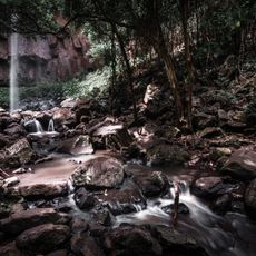
Browns Falls
18.2 km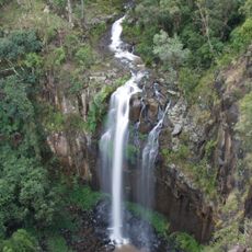
Daggs Falls
18.2 km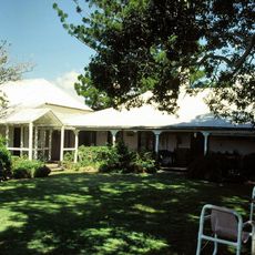
Coochin Coochin Homestead
20.4 km
Wilsons Peak
1.2 km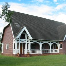
All Saints Memorial Church, Tamrookum
43.8 km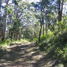
Spicers Gap Road
20.6 km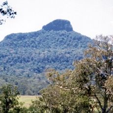
Wilsons Peak Flora Reserve
1.2 km
Cotswold Cottage, Maroon
25.3 km
Fassifern Homestead
33.7 km
Maroon State School and Maroon War Memorial
22.7 km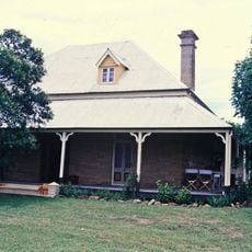
White Swan Inn
36.1 km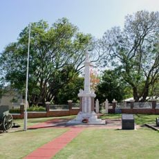
Boonah War Memorial
33.2 km
Wiss Brothers Store
36.7 km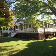
Wiss House
36.5 km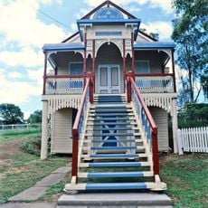
Yangan Masonic Hall
29 km
Boonah Post Office
33.3 km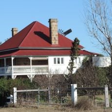
Burndale, Swan Creek
34.4 km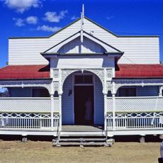
Yangan School of Arts
29.1 km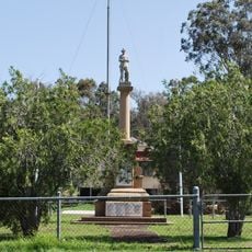
Maroon War Memorial
22.7 kmReviews
Visited this place? Tap the stars to rate it and share your experience / photos with the community! Try now! You can cancel it anytime.
Discover hidden gems everywhere you go!
From secret cafés to breathtaking viewpoints, skip the crowded tourist spots and find places that match your style. Our app makes it easy with voice search, smart filtering, route optimization, and insider tips from travelers worldwide. Download now for the complete mobile experience.

A unique approach to discovering new places❞
— Le Figaro
All the places worth exploring❞
— France Info
A tailor-made excursion in just a few clicks❞
— 20 Minutes