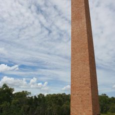
Galilee Basin, Geological basin with coal deposits in Queensland, Australia.
Description
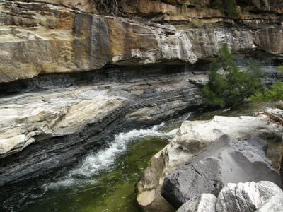
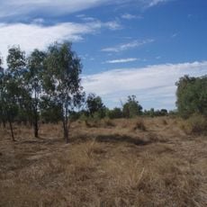
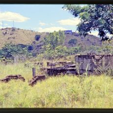
The Galilee Basin is a geological formation in western Queensland that holds substantial coal deposits buried beneath multiple rock layers. The region spans vast areas and displays the complex geological structure typical of inland Australia.
History
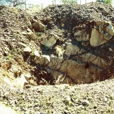
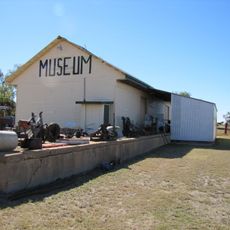
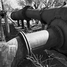
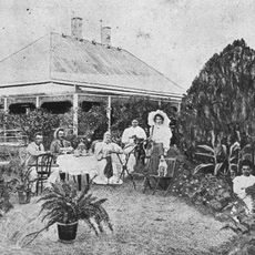
Exploration of the coal deposits began in the early 2000s when mining companies developed large-scale projects across the region. These activities generated numerous proposals and environmental assessments that shaped how the area has developed.
Culture
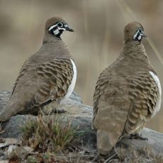
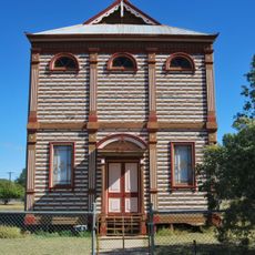
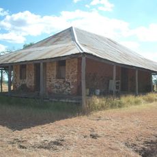
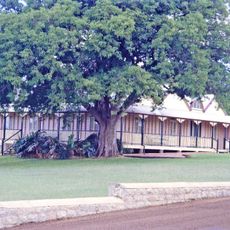
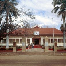
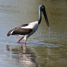
Indigenous peoples have maintained their presence and connection to this land for countless generations across the region. Visitors can encounter this living heritage in local communities and through their ongoing relationship with the country.
Practical
Summer temperatures often exceed 35°C (95°F), while winter nights range from 5 to 12°C (41-54°F) and affect how visitors plan their time. Anyone exploring the region should prepare for extreme conditions and carry plenty of water.
Did you know?
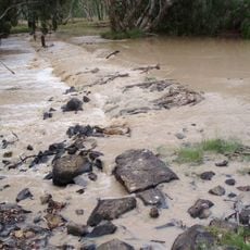
The basin connects to the Great Artesian Basin below the surface, providing access to underground water vital for the entire subregion. This hidden water link plays a quiet but important role in sustaining the land.
AroundUs brings together thousands of curated places, local tips, and hidden gems, enriched daily by 60,000 contributors worldwide. Discover all places nearby (Queensland).
Tree of Knowledge
187.6 km
Epping Forest National Park
82.2 km
Charters Towers mine shafts
215 km
White Mountains National Park
194.6 km
Moorrinya National Park
128.5 km
Aramac Tramway Museum
133.4 km
Shearers' Strike Camp Site, Barcaldine
184 km
Tomahawk Creek Huts
212.2 km
Barcaldine Masonic Temple
188 km
Forest Den National Park
84.4 km
Stone Farm Building
192.8 km
Narrien Range National Park
142.5 km
Pfeiffer House, Charters Towers
215.1 km
Clermont Cemetery
192 km
Venus State Battery
215.2 km
St Peter's Anglican Church, Barcaldine
187.9 km
Irlam's Ant Bed Building
177.1 km
Mining works on Towers Hill
214.3 km
Barcaldine Shire Hall
187.8 km
Barcaldine War Memorial Clock
187.7 km
Beaconsfield Station Sheep Wash
209.7 km
Day Dawn mine remains, Charters Towers
215 km
Barclay's Battery
154.8 km
Mount Cornish Homestead
155.7 km
Suttor River Causeway
127.9 km
Aramac War Memorial
133.2 km
Nairana National Park
100.3 km
Australian Workers Heritage Centre
187.7 kmDiscover hidden gems everywhere you go!
From secret cafés to breathtaking viewpoints, skip the crowded tourist spots and find places that match your style. Our app makes it easy with voice search, smart filtering, route optimization, and insider tips from travelers worldwide. Download now for the complete mobile experience.
A unique approach to discovering new places❞
— Le Figaro
All the places worth exploring❞
— France Info
A tailor-made excursion in just a few clicks❞
— 20 Minutes