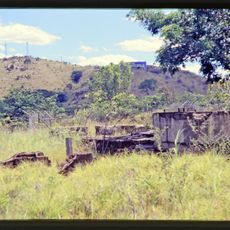
White Mountains National Park, National park in Queensland, Australia
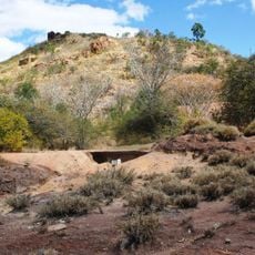
White Mountains National Park is a 1,122 km² park in North Queensland, 80 km northwest of Hughenden and 140 km southwest of Charters Towers. Its terrain is marked by white sandstone cliffs and gorges interspersed with sand pans and dunes, and the Flinders Highway crosses its southern section.
White Mountains National Park covers 1,122 square kilometres in North Queensland. On National Parks Day, Sunday 28 March 2010, the Queensland State Government announced the addition of 4,200 hectares to the park. The Flinders Highway crosses the southern part of the park.
The park lies where three watersheds meet: the Burdekin River drains to the Coral Sea, the Flinders River to the Gulf of Carpentaria, and western creeks toward Channel Country and Lake Eyre. It is also a main recharge area for the Great Artesian Basin. The Desert Upland bioregion within the park holds 14 ecosystems and about 430 plant species, with eucalypts, acacias and heathland prevailing.
The park has limited facilities, so visitors should bring plenty of water and supplies for their stay. Marked walking tracks and camping areas help with navigation and planning your time here.
Three watershed divides meet in the park: water reaches the Coral Sea via the Burdekin River, the Gulf of Carpentaria via the Flinders River, and Lake Eyre in South Australia through the Channel Country. The park is also a main recharge area for the Great Artesian Basin.
The community of curious travelers
AroundUs brings together thousands of curated places, local tips, and hidden gems, enriched daily by 93,359 contributors worldwide.