Moorrinya National Park, Nature reserve in Flinders Shire, Australia.
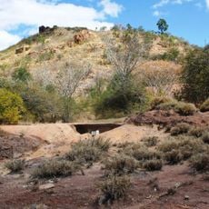
Moorrinya National Park is a national park in central Queensland, 1,061 km northwest of Brisbane and 90 km southeast of Hughenden. It consists of flat, dry steppe country crossed by several small watercourses belonging to the Lake Eyre basin. Grassland dominates, with open eucalyptus and acacia woodlands and myrtle heath.
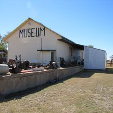
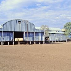
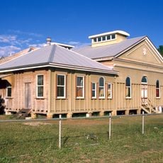
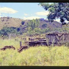
The site began as Shirley Station, a working sheep farm, until gaining protected status in 1995 as a national park. Original structures from the 1940s including the shearing shed remain visible on the grounds as remnants of that earlier use.
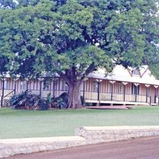
The park occupies the former Shirley Station, a sheep run founded in the 1940s that switched to cattle in the late 1970s before being dissolved in 1993. Visitors can still see the remains of the station buildings, and the old shearers' quarters are the recommended camping spot.
Access is via unsealed roads: from the Flinders Highway at Torrens Creek, 58 km east of Hughenden, south on the Aramac–Torrens Creek Road for 90 km, or from Barcaldine on the Capricorn Highway via Aramac, 246 km. Four-wheel drive is advised. Roads may become impassable and the park closed in the wet season, November to April. Camping is allowed, with the former shearers' quarters recommended; the Bullock Creek Walk is 200 m long.
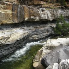
The Bullock Creek Walk is a 200-metre marked track where visitors can watch fish in the creek. Camping is allowed at the former shearers' quarters, a remnant of Shirley Station, the sheep property established in the 1940s that later ran cattle until the park was created in 1993.
The community of curious travelers
AroundUs brings together thousands of curated places, local tips, and hidden gems, enriched daily by 94,125 contributors worldwide.