
Dalrymple National Park, national park in Australia
Location: Charters Towers Regional
Operator: Queensland Department of Environment and Science
GPS coordinates: -19.78634,146.10042
Latest update: April 22, 2025 22:07
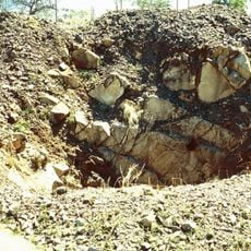
Charters Towers mine shafts
37.3 km
Pollard's Store
36.2 km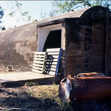
Breddan Aerodrome
22.7 km
Charters Towers Stock Exchange Arcade
36.2 km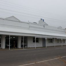
ED Miles Mining Exchange
36.1 km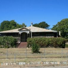
Aldborough, Charters Towers
36.4 km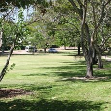
Boer War Veterans Memorial Kiosk and Lissner Park
36 km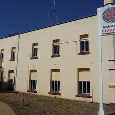
Ambulance Building, Charters Towers
36.7 km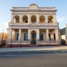
Bank of New South Wales, Charters Towers
36.3 km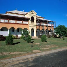
Charters Towers Masonic Lodge
36.3 km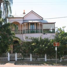
Ay Ot Lookout
36.6 km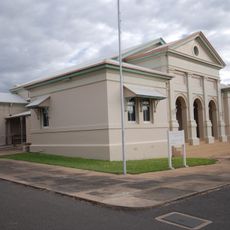
Charters Towers Courthouse
36.5 km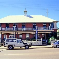
Charters Towers Police Station
36.3 km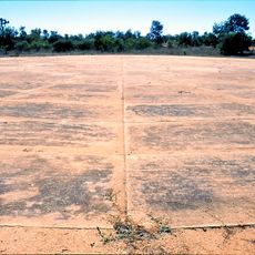
Bore Sight Range and Compass Swinging Platform at Charters Towers Airfield
33.2 km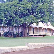
Pfeiffer House, Charters Towers
36.8 km
Lyall's Jewellery Shop
36.2 km
Charters Towers Post Office
36.2 km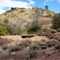
Mining works on Towers Hill
37.3 km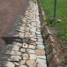
Stone kerbing, channels and footbridges of Charters Towers
37.1 km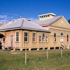
Charters Towers School of Mines
36.6 km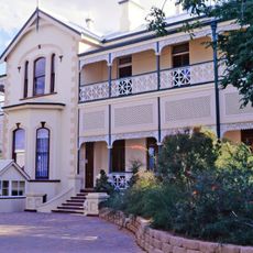
Thornburgh House
35.6 km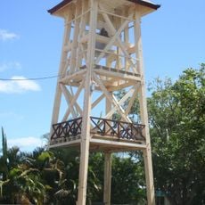
St Columba's Church Bell Tower
36.5 km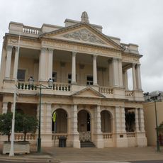
Australian Bank of Commerce, Charters Towers
36.2 km
Civic Club, Charters Towers
36.4 km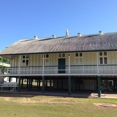
Charters Towers Central State School
36.9 km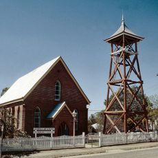
Church of Christ, Charters Towers
36.3 km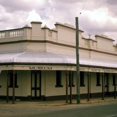
Bartlam's Store
36 km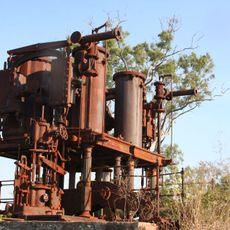
Burdekin River Pumping Station
30.7 kmReviews
Visited this place? Tap the stars to rate it and share your experience / photos with the community! Try now! You can cancel it anytime.
Discover hidden gems everywhere you go!
From secret cafés to breathtaking viewpoints, skip the crowded tourist spots and find places that match your style. Our app makes it easy with voice search, smart filtering, route optimization, and insider tips from travelers worldwide. Download now for the complete mobile experience.

A unique approach to discovering new places❞
— Le Figaro
All the places worth exploring❞
— France Info
A tailor-made excursion in just a few clicks❞
— 20 Minutes