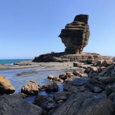
Mé Boura, Summit in New Caledonia, France.
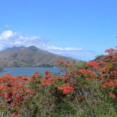
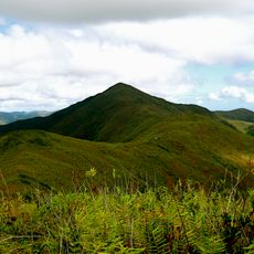
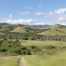
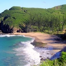
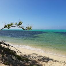
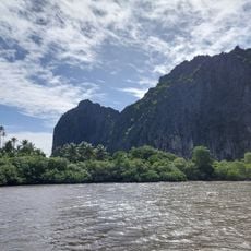
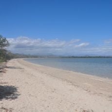
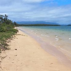
Mé Boura is a summit on the Pacific island of New Caledonia that rises approximately 53 meters above sea level and overlooks the surrounding terrain. Its location provides views across forests, coastlines, and rolling hills around the island.
The summit was mapped and measured by surveyors during the French colonial period of the 19th century, becoming documented in European records. These early measurements helped create maps of the island.
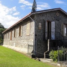
The area around Mé Boura holds deep meaning for local Kanak communities as a gathering place where important ceremonies and celebrations took place. Visitors can sense the connection of the people to this land as they walk the paths.
The climb to Mé Boura follows marked trails through the terrain that are well known to local guides. Visitors should prepare for changing weather and wear solid footwear, as the paths can be damp and slippery.
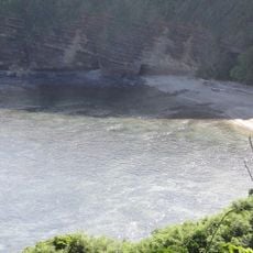
The location serves as an important reference point for studying the geological character of New Caledonia, with rock formations visible that tell the history of the island. Geologists regularly visit the site to examine the mineral layers.
The community of curious travelers
AroundUs brings together thousands of curated places, local tips, and hidden gems, enriched daily by 60,000 contributors worldwide.