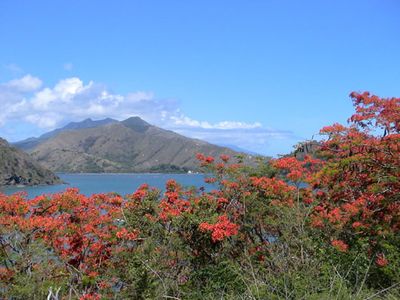
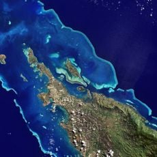
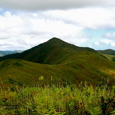
Mont Panié, Mountain summit in Grande Terre, New Caledonia.
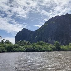
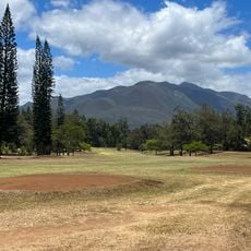
Mont Panié is the highest point in New Caledonia, located in the northeast of Grande Terre where its eastern slopes fall steeply toward the Pacific Ocean. To the west, the terrain opens into deep river valleys that drop gradually away from the main ridge.
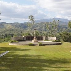
The peak was a landmark for Kanak communities long before European explorers mapped it in the 19th century. During the 20th century, the surrounding area was set aside as a protected reserve to safeguard its high-altitude forests.
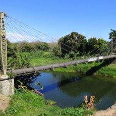
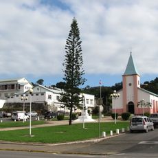
The name Panié comes from the Kanak language and reflects the deep ties between the local people and this land. Visitors who pass through nearby villages often notice how the mountain shapes local storytelling and daily reference points.
The trail to the top is long and steep, so solid footwear and enough water are worth preparing in advance. Starting early in the morning helps avoid afternoon cloud cover that often rolls in at higher elevations.
The forests covering the upper slopes hold 13 species of palms, and 3 of those grow nowhere else on the planet. It is rare to find palms at such high elevations, which makes this one of the more unexpected details of the mountain.
The community of curious travelers
AroundUs brings together thousands of curated places, local tips, and hidden gems, enriched daily by 60,000 contributors worldwide.