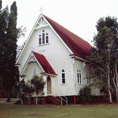
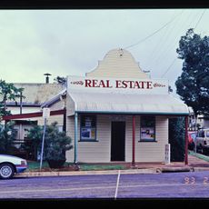
Atherton Tableland, Plateau in Queensland, Australia
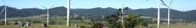
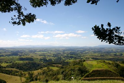
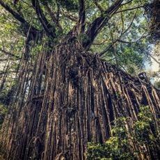
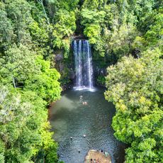
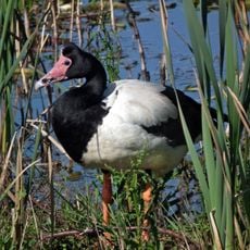
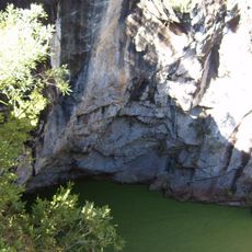
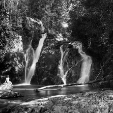
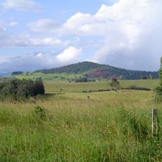
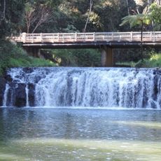
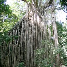
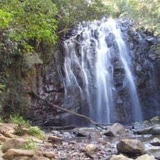
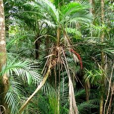
The Atherton Tableland is a plateau in Queensland's Great Dividing Range, with elevations between 600 and 900 meters, stretching across a vast area. It combines diverse landscapes including rainforests, wetlands, and waterfalls in a region shaped largely by farming and dairy production.
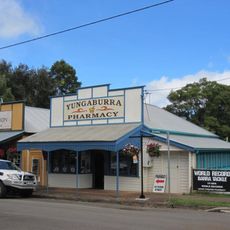
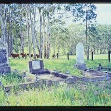
The region was established by John Atherton in 1877, quickly attracting tin miners and settlers from nearby goldfields. This early settlement and mining activity laid the foundation for the agricultural development that would follow.
Indigenous peoples have inhabited this region for millennia, and Chinese settlers later brought their farming traditions and culinary practices to the area. Their influence remains visible in the local food culture and the way communities work the land.
From Cairns, Kennedy Highway ascends through Kuranda Range to reach the plateau near Mareeba. The best time to visit is during the drier months when roads are in good condition and outdoor activities are most enjoyable.
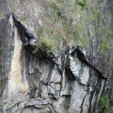
The plateau contains an unusually high diversity of ecosystems within a relatively small area, making it a rare example of landscape contrasts in Australia. Visitors often overlook how quickly the vegetation and wildlife shift as you move between different zones.
The community of curious travelers
AroundUs brings together thousands of curated places, local tips, and hidden gems, enriched daily by 60,000 contributors worldwide.