Mount Hypipamee National Park, Nature reserve in Tablelands Regional, Australia
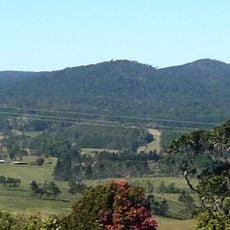
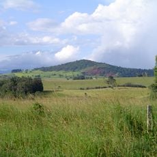
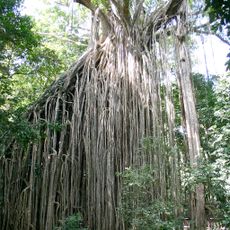
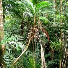
Mount Hypipamee National Park lies 25 km south of Atherton and 15 km from Malanda in Far North Queensland, part of the Wet Tropics of Queensland World Heritage Area listed in 1988. At its centre is an 82 m deep crater formed by a gas explosion that shattered a granite layer; a rain-fed lake about 70 m across fills the bottom. The summit reaches just over 1,000 m, with cool, wet rainforest around the car park and walking track.
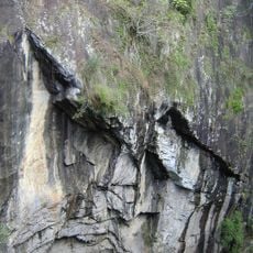
Mount Hypipamee National Park was gazetted on 18 May 2001. It lies within the Wet Tropics of Queensland, inscribed on the UNESCO World Heritage List in 1988. The crater itself formed when a gas explosion shattered a granite rock layer and threw debris into the air, with only small amounts of volcanic material reaching the surface.
The Ngadjonji and Jirrbal peoples lived in the area of the park. In Ngadjonji Dreaming, as painted by Warren Canendo, the Rainbow Serpent created four nearby crater lakes: Lake Eacham, Lake Barrine, Lake Euramoo and the crater lake of Mount Hypipamee, called Naypa Naypami. The lakes were believed to be linked underground, though dives found no such connection.
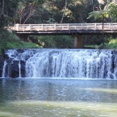
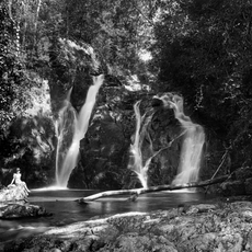
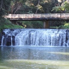
A 400 m track leads from the car park to a platform overlooking the crater lake; the return leg can be walked via the Dinner Falls cascades on the Barron River. Camping is not permitted in the park.
The crater was formed by a gas explosion that shattered a granite rock layer and threw debris into the air, with little volcanic material reaching the surface. It is 82 m deep and holds a rainwater-fed lake about 70 m across. The Ngadjonji name for it is Naypa Naypami.
The community of curious travelers
AroundUs brings together thousands of curated places, local tips, and hidden gems, enriched daily by 94,335 contributors worldwide.