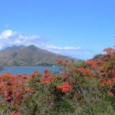
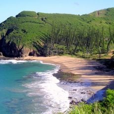
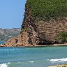
Pic Poya, Mountain summit in Poya, New Caledonia.
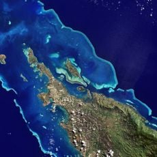
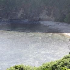
Pic Poya rises 849 meters above sea level and forms a prominent point in the Poya landscape of New Caledonia. The mountain displays different vegetation zones and rock layers visible from the base to the summit.
This mountain formed through tectonic movements that shaped New Caledonia millions of years ago. It records the geological history of the South Pacific in its structure and materials.
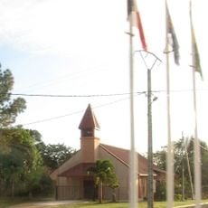
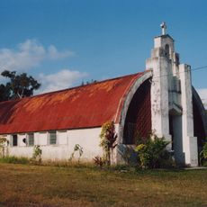
Local Kanak communities view this mountain as part of their landscape and stories passed down through generations. The peak holds meaning in how people connect to the land and mark the turning of seasons.
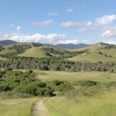
Hikers can reach the summit trail from the commune of Poya, with the ascent taking about four hours in good conditions. The path is marked, but it is wise to start early to have plenty of daylight and time for exploration.
From the summit you can look north and south and spot the boundary between two administrative regions. This makes the location a natural meeting point between two different parts of the island.
The community of curious travelers
AroundUs brings together thousands of curated places, local tips, and hidden gems, enriched daily by 60,000 contributors worldwide.