Haroubouaméni, Mountain summit in Grande Terre, New Caledonia.
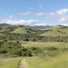
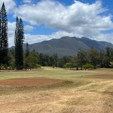
Haroubouaméni is a summit in Grande Terre's central mountain range, rising to about 216 meters above sea level. The peak can be reached via marked hiking trails that link several summits across the highlands.
The summit was mapped during French territorial surveys of New Caledonia following the 1853 colonization period. These mapping efforts established the island's geographic documentation under colonial administration.
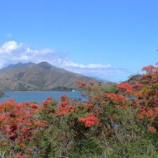
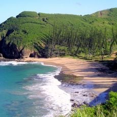
The name Haroubouaméni comes from the Kanak language, which still resonates through New Caledonia's geography and reflects the island's indigenous identity. Walking here, you encounter a landscape where traditional place names tell the story of the people who have always lived on these islands.
The summit is best visited on established hiking trails that connect multiple peaks across the region. Allow sufficient time for the climb and descent, as the terrain can be steep and challenging.
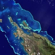
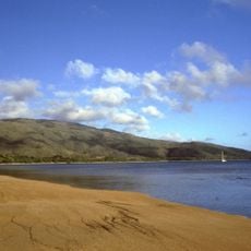
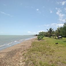
From this peak, you can see both the eastern and western coasts of New Caledonia simultaneously, where completely different weather patterns prevail. This geographic feature reveals how the central ridge influences the island's climate in surprising ways.
The community of curious travelers
AroundUs brings together thousands of curated places, local tips, and hidden gems, enriched daily by 60,000 contributors worldwide.