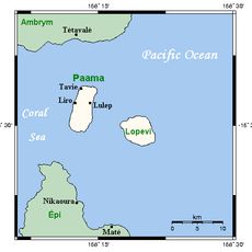
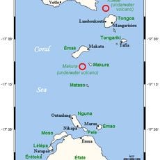
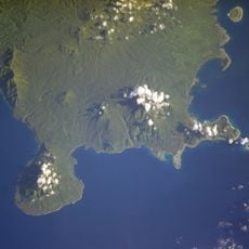
Mount Gharat, Active stratovolcano in Banks Islands, Vanuatu
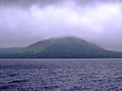
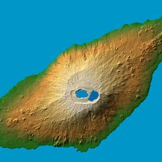
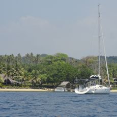
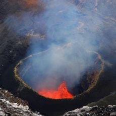
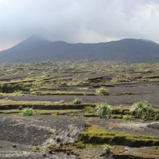
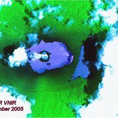
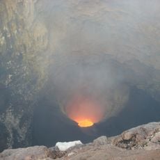
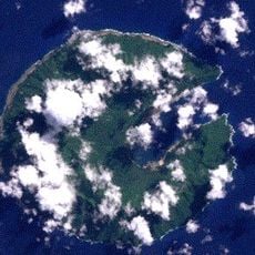
Mount Gharat is an active stratovolcano rising 797 meters and anchoring the center of Gaua island with its steep cone shape. The mountain sits at the rim of a crescent-shaped lake, with thermal features visible on its different slopes.
The volcano began its modern eruption cycle in 1963 and has experienced several significant events, notably a major outbreak in 1965 that marked a turning point in its activity. This pattern of intermittent eruptions demonstrates its role as an actively unstable geological system.
The mountain's name originates from a Proto-Torres-Banks word meaning burning or itching, directly referencing the volcanic vapors that rise from its slopes. Local residents connect this linguistic heritage to the tangible heat and steam they observe on the hillsides.
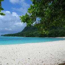
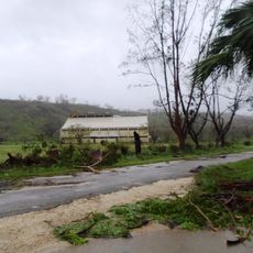
Check with local authorities about volcanic activity conditions before planning a visit, as the mountain experiences ongoing geothermal activity. Bring suitable gear for steep slopes and be prepared for variable weather on the exposed summit area.
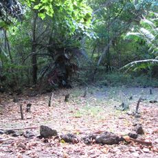
The mountain displays solfataras on its southern flank and hot springs on its northern face, creating two contrasting thermal zones within the same volcano. This divided geothermal character along opposite sides is an unusual feature that sets this system apart.
The community of curious travelers
AroundUs brings together thousands of curated places, local tips, and hidden gems, enriched daily by 60,000 contributors worldwide.