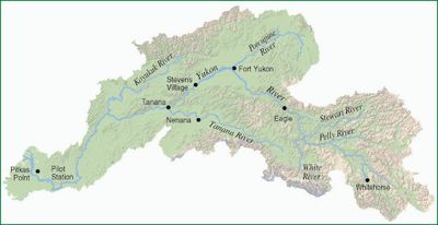
Yukon River, River system in Yukon Territory and Alaska, Canada and United States.
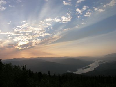
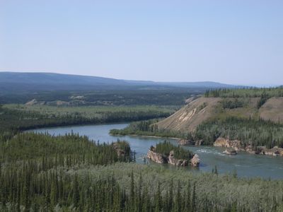
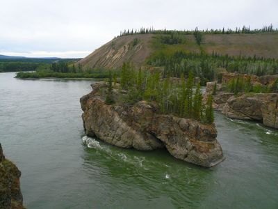
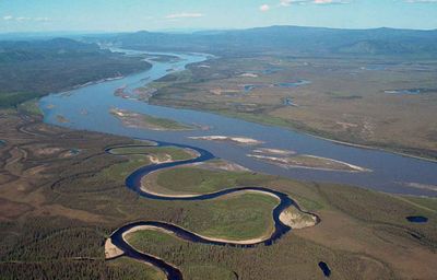
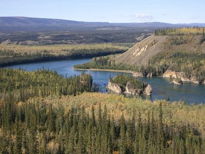
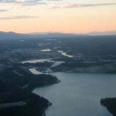
The Yukon River is a waterway in British Columbia, Yukon Territory and Alaska that flows over 3,190 kilometers northwest into the Bering Sea. The riverbed runs through wide valleys, past forested banks and low hills, before opening into a broad delta.
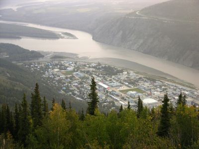
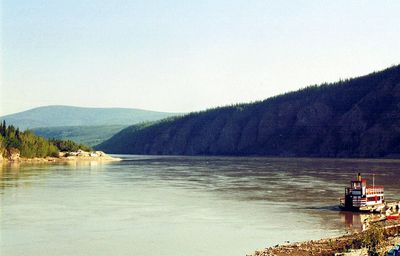
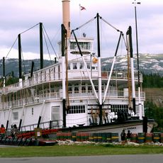
The river served as the main route during the Klondike Gold Rush from 1896 onward, as thousands of prospectors traveled to the gold fields near the Klondike River. Steamboats navigated the route from the 1860s and carried people and goods between newly formed settlements.
Indigenous groups including the Tr'ondëk Hwëch'in, Tutchone, Tagish, and Tlingit established fishing settlements along the river banks for generations.
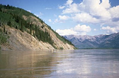
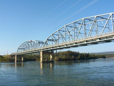
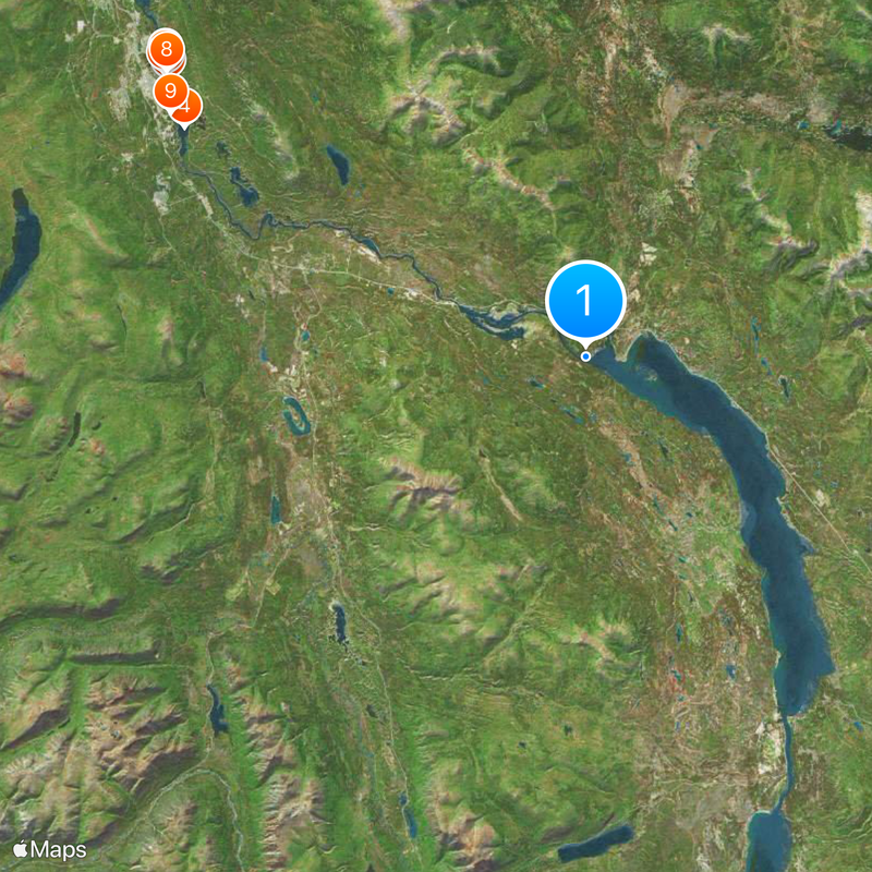
Four vehicle bridges cross the river between Alaska and Yukon, including the one on the Dalton Highway and another near Carmacks. The current is strong and the water remains cold year-round, even during summer months.
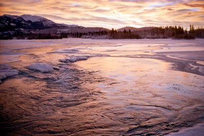
The name comes from the Gwich'in language and means white water river, referring to the pale color caused by glacial sediment. Each spring the ice breaks up and leaves clear stretches for a few weeks before meltwater arrives.
The community of curious travelers
AroundUs brings together thousands of curated places, local tips, and hidden gems, enriched daily by 60,000 contributors worldwide.