
Cosna Bluff, cliff in Yukon–Koyukuk Census Area, United States of America
Location: Yukon-Koyukuk Census Area
GPS coordinates: 64.87667,-151.30778
Latest update: March 14, 2025 19:24
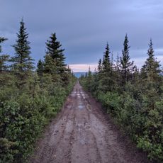
Stampede Trail
134.5 km
Magic Bus
157.7 km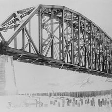
Mears Memorial Bridge
111.4 km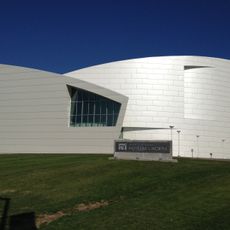
University of Alaska Museum of the North
163.8 km
E. L. Patton Yukon River Bridge
133.5 km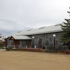
Chena Pump House
161.9 km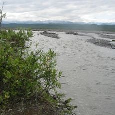
McKinley River
112 km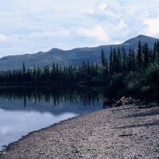
Nowitna National Wildlife Refuge
129.9 km
Georgeson Botanical Garden
163.1 km
Pearson Cabin
163.3 km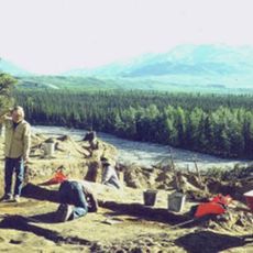
Dry Creek Archeological Site
154.1 km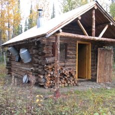
Lower East Fork Ranger Cabin No. 9
135.8 km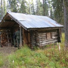
Sushana River Ranger Cabin No. 17
141.6 km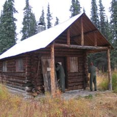
Moose Creek Ranger Cabin No. 19
158.7 km
Kanuti River
150.5 km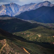
Mount Sheldon
154.2 km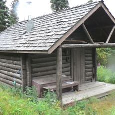
Igloo Creek Cabin No. 25
163.9 km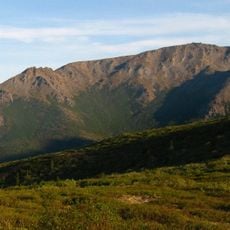
Mount Margaret
156.4 km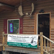
John Trigg Ester Library
155.6 km
Sanctuary River Cabin No. 31
156 km
Lower Toklat River Ranger Cabin No. 18
129.6 km
Rampart Canyon
54.6 km
Ewe Creek Ranger Cabin No. 8
152.6 km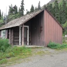
Upper Toklat River Cabin No. 24
163 km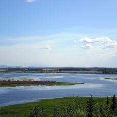
Tolovana River
117.6 km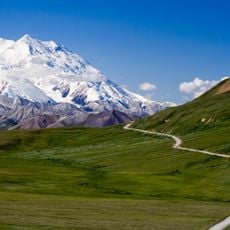
Mount McKinley National Park Road Historic District
164.2 km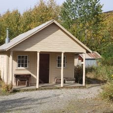
Fannie Quigley House
149.6 km
Ester Camp Historic District
155.6 kmReviews
Visited this place? Tap the stars to rate it and share your experience / photos with the community! Try now! You can cancel it anytime.
Discover hidden gems everywhere you go!
From secret cafés to breathtaking viewpoints, skip the crowded tourist spots and find places that match your style. Our app makes it easy with voice search, smart filtering, route optimization, and insider tips from travelers worldwide. Download now for the complete mobile experience.

A unique approach to discovering new places❞
— Le Figaro
All the places worth exploring❞
— France Info
A tailor-made excursion in just a few clicks❞
— 20 Minutes