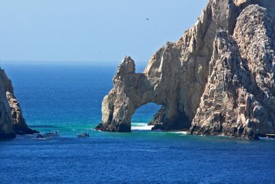
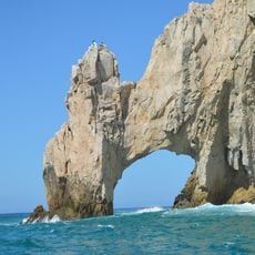
Los Cabos, Administrative division at southern tip of Baja California Peninsula, Mexico.
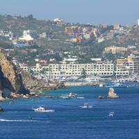
Los Cabos is an administrative division at the southern tip of the Baja California Peninsula in Mexico, linking desert plateaus, coastal beaches, and two main settlements. The area stretches from the rocky cape at Cabo San Lucas to the colonial town of San José del Cabo, with an extended hotel zone running along the coastline between them.
Until the 1980s, the area remained a cluster of remote fishing villages with few connections to the rest of the country. The construction of airports and roads transformed the region into a separate administrative district with expanding infrastructure for visitors.
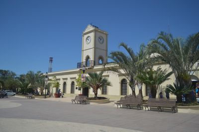
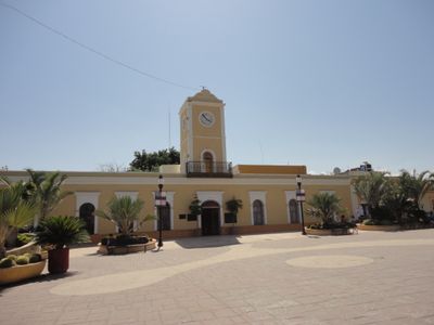
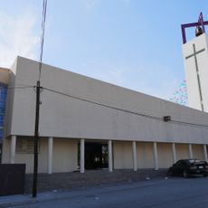
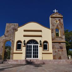
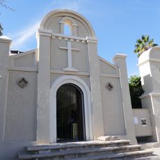
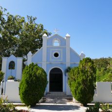
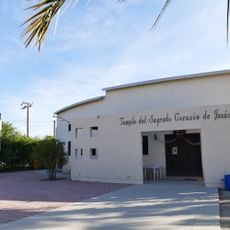
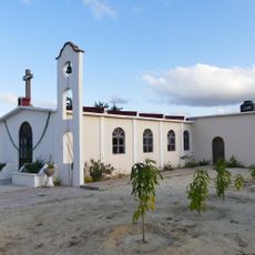
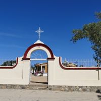
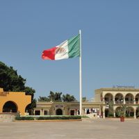
The name refers to the two capes that once guided sailors and now define the region's identity. Local festivals combine Catholic traditions with music and dance, with the colonial mission church in San José serving as a gathering place for community events.
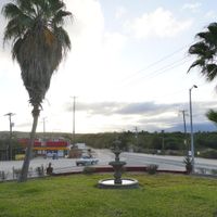
Two airports provide access to the region, while a continuous coastal road connects the main settlements and helps with orientation. Most facilities concentrate in the two town centers and along the hotel corridor, with public transport linking the main points.
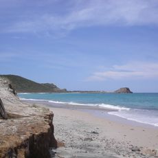
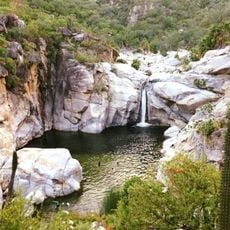
The region records over 320 days of sunshine each year and forms one of the driest coastlines on the Pacific. Several marine protected areas lie offshore, where desert formations meet the water directly and create unusual transitions between habitats.
The community of curious travelers
AroundUs brings together thousands of curated places, local tips, and hidden gems, enriched daily by 60,000 contributors worldwide.