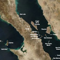
Baja California Sur, State division in northwestern Mexico
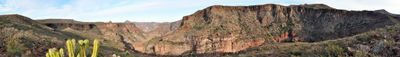
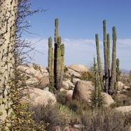
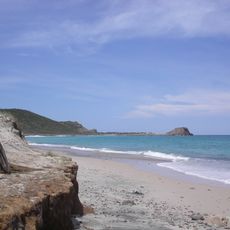
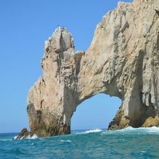
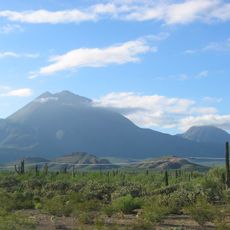
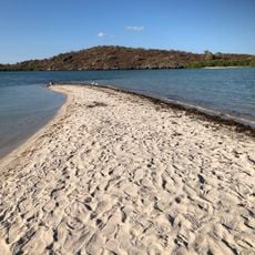
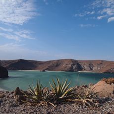
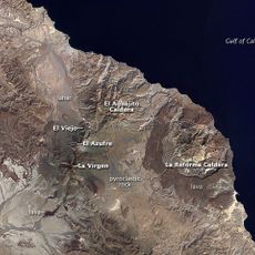
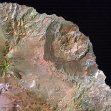
Baja California Sur occupies the southern half of the Baja California Peninsula between the Pacific Ocean and the Gulf of California. The landscape shifts from dry desert plains inland to rocky cliffs and sandy beaches along both coasts.
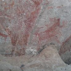
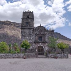
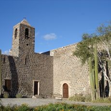
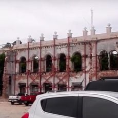
The region became a separate state in 1974 after splitting from the northern Baja California territory. Before that, it remained a sparsely populated mission area under Spanish rule for centuries.
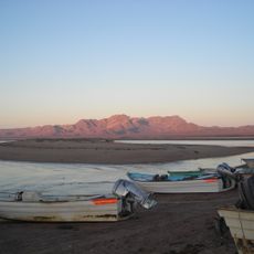
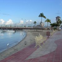
The name comes from Spanish meaning lower or southern, which refers to its position below the other Baja state. Fishing traditions shape daily life in coastal towns, where small boats bring in catches that appear at markets the same morning.
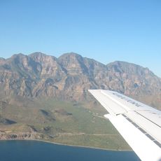
Several international airports connect the region to major cities, while Federal Highway 1 runs through the peninsula. The best time to visit is between November and April, when temperatures are milder and whales appear along the coasts.
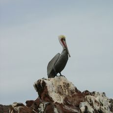
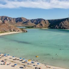
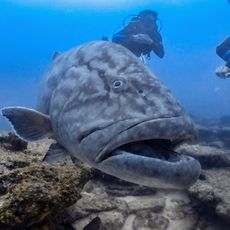
The surrounding waters host nearly 40 percent of all marine mammal species on Earth. Gray whales migrate each year to the protected lagoons, where visitors can watch them from small boats.
Location: Mexico
Inception: October 8, 1974
Capital city: La Paz
Elevation above the sea: 239 m
Shares border with: Baja California, Ensenada Municipality
Website: https://bcs.gob.mx
GPS coordinates: 25.44000,-111.88000
Latest update: December 4, 2025 19:01
Cabo Pulmo National Park
334.7 km
Arch of Cabo San Lucas
349.5 km
El Vizcaíno Biosphere Reserve
350.9 km
Rock Paintings of Sierra de San Francisco
269 km
Bahía de Loreto National Park
94 km
Islands and Protected Areas of the Gulf of California
258.3 km
Tres Vírgenes
236.8 km
Laguna Ojo de Liebre
348.9 km
San Ignacio Lagoon
204.2 km
Iglesia de Santa Bárbara
214.7 km
Balandra
200.7 km
San Lorenzo Marine Archipelago National Park
387.1 km
Our Lady of Peace Cathedral, Baja California Sur
212.9 km
San Pedro Mártir Island
330 km
Iglesia de la Purísima Concepción
342.8 km
Arena Sonora
100.9 km
Sierra de Guadalupe cave paintings
268.6 km
Parque Nacional Cabo Pulmo
335.5 km
La Reforma
235.8 km
Misión Santa Rosalía de Mulegé
161.2 km
Aguajito
244.7 km
Sacred Heart of Jesus Cathedral, Ciudad Obregón
300.1 km
La Perla de La Paz
212.6 km
Loreto
83.4 km
Baja California Sur Regional Museum
213.4 km
Álamos city hall
342.7 km
Plaza de Armas of Alamos
342.8 km
Reviews
Visited this place? Tap the stars to rate it and share your experience / photos with the community! Try now! You can cancel it anytime.
Discover hidden gems everywhere you go!
From secret cafés to breathtaking viewpoints, skip the crowded tourist spots and find places that match your style. Our app makes it easy with voice search, smart filtering, route optimization, and insider tips from travelers worldwide. Download now for the complete mobile experience.
A unique approach to discovering new places❞
— Le Figaro
All the places worth exploring❞
— France Info
A tailor-made excursion in just a few clicks❞
— 20 Minutes