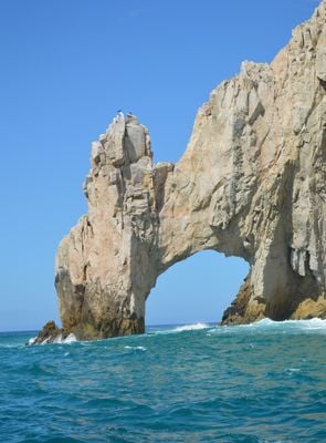
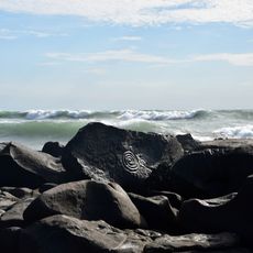
Arch of Cabo San Lucas, Rock formation in Cabo San Lucas, Mexico.
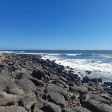
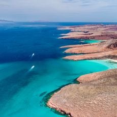
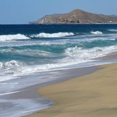
The Arch of Cabo San Lucas is a natural limestone bridge at the southern tip of the Baja California Peninsula, where the Pacific Ocean meets the Sea of Cortez. The rock formation rises roughly 60 meters (200 feet) from the water and forms a continuous opening between two small beaches at the coastline of Land's End.
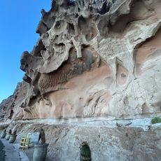
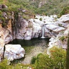
The arch formed over millions of years as wind and ocean waves eroded softer rock from the coastal cliffs. This process began during the geological separation of the peninsula from mainland Mexico.
Locals call the formation "El Arco" and fishermen have used it as a navigation marker for generations when returning to port. Visitors today pass through the stone gateway in small boats and experience the shift between calm and active waters on each side.
Water taxis depart from the marina in Cabo San Lucas to reach the rock formation and allow viewing from several angles close to the base. Most trips take around 15 minutes each way and run during daylight hours in good weather.
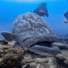
Every four years at low tide, a narrow strip of sand emerges beneath the arch and briefly connects both sides on foot. Sea lions regularly rest on the nearby rocks and can often be seen up close from the boats.
The community of curious travelers
AroundUs brings together thousands of curated places, local tips, and hidden gems, enriched daily by 60,000 contributors worldwide.