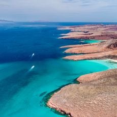
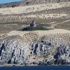
Sierra La Laguna, Biosphere reserve in Baja California Sur, Mexico
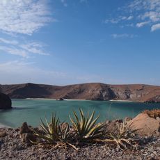
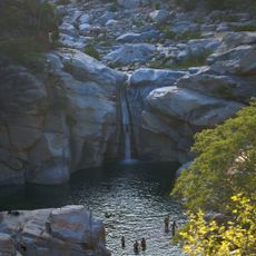
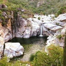
Sierra La Laguna is a biosphere reserve in Baja California Sur featuring distinct ecological zones that range from desert scrubland at lower elevations to oak-pine forests higher up. The mountain range supports diverse plant and animal species across these varied habitats and provides multiple hiking routes through different environments.
The Sierra La Laguna formed as part of the Peninsular Ranges System through geological processes that transformed an ancient island into a continental mountain range. This geological history shaped the terrain and created the conditions for the diverse ecosystems present in the region today.
Local communities have long practiced agriculture using the mountain's natural springs and water sources in ways adapted to the local landscape. You can still see terraced fields and traditional farming methods that reflect generations of living in harmony with this terrain.
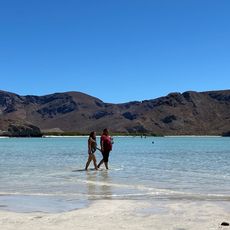
The reserve is accessed primarily through hiking trails that wind through different elevations and offer varying difficulty levels. A permit system manages certain activities in the protected area, so visitors should check requirements before planning their visit to understand what is allowed in different zones.
The reserve functions as a critical water recharge zone where rainfall infiltrates underground to replenish aquifers that supply surrounding communities with drinking water. Without this natural filtration system in the mountains, many settlements in the arid region would lack reliable freshwater sources.
The community of curious travelers
AroundUs brings together thousands of curated places, local tips, and hidden gems, enriched daily by 60,000 contributors worldwide.