Chest opened
+${chestReward.xp} XP
Explorer
NOUVEAU ×${chestReward.collectible.quantity}
tapez pour fermer
Chest locked

Open chests in the app

Around Us is built for your phone — chests unlock when you walk, explore and capture nearby places.

Enable Location

We need your location to show you interesting places around you

Discover nearby places

Find interesting locations and hidden gems around you

Precise directions

Get accurate directions and distances to places

Your location is never shared with other users. It's only used when you tap the location button.

Serra Mesa

Log in to your account

Start exploring — it's free

Trusted by 72,878 travelers worldwide

Continue with Google
Continue with Apple
or

We will send you a code to connect

By continuing, you accept our Terms and Conditions and our Privacy Policy

Check your inbox

We've sent a pincode in your inbox. Please enter the code below.

Serra Mesa
Discussion Reviews 1 Photos
10.3k Popularity

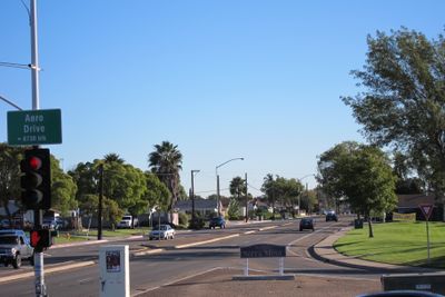
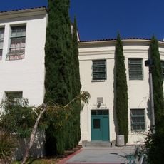
Serra Mesa, Residential neighborhood in San Diego, US

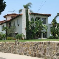
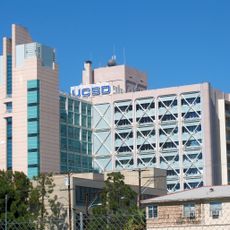
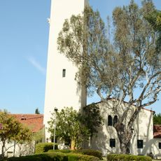
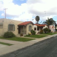
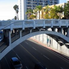
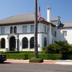
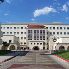
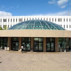
Serra Mesa is a residential neighborhood in San Diego positioned between Interstate 805 and Interstate 15, with Aero Drive forming its northern boundary and Friars Road its southern edge. The area is home to several major medical facilities that serve residents and patients throughout the county.

The area originated as part of Mission Rancho lands granted by Spain to the Catholic Church until Mexico began secularization in 1834. This shift transferred ownership to private individuals and shaped the region's subsequent development into a residential neighborhood.

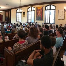
The Serra Mesa Community Council maintains active engagement through regular meetings, planning groups, and community initiatives that shape neighborhood development and policies.

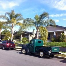
The neighborhood is easily accessible via major highways and sits near San Diego International Airport, making it convenient for visitors and residents alike. Most areas are relatively flat and straightforward to navigate.

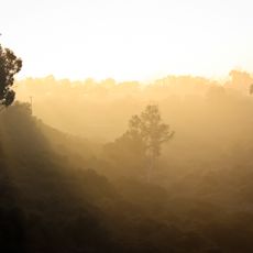
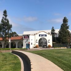
Ruffin Canyon Open Space Preserve, a quiet natural conservation area spanning 84 acres, sits within the residential landscape and provides walking trails. This green space initiative shows efforts to maintain natural habitats within an urban setting.

The community of curious travelers

AroundUs brings together thousands of curated places, local tips, and hidden gems, enriched daily by 60,000 contributors worldwide.

Start exploring
Location
GPS coordinates
32.79810,-117.13100
Latest update
March 5, 2026 21:06
Around this place
San Diego Zoo
United States of America

San Diego Zoo

7.2 km
San Diego Stadium
United States of America

San Diego Stadium

2 km
Snapdragon Stadium
United States of America

Snapdragon Stadium

1.7 km
Beth Sarim
United States of America

Beth Sarim

4.2 km
UC San Diego Medical Center, Hillcrest
United States of America

UC San Diego Medical Center, Hillcrest

5.9 km
George W. Marston House
United States of America

George W. Marston House

6.8 km
Aztec Bowl
United States of America

Aztec Bowl

6.1 km
Dharma Bum Temple
United States of America

Dharma Bum Temple

5.3 km
Hepner Hall
United States of America

Hepner Hall

6.1 km
Lafayette Hotel & Suites in San Diego
United States of America

Lafayette Hotel & Suites in San Diego

4.9 km
Switzer Canyon
United States of America

Switzer Canyon

7.2 km
Hardy Memorial Tower
United States of America

Hardy Memorial Tower

6.1 km
Dryden Historic District
United States of America

Dryden Historic District

6.1 km
All Saints Episcopal Church
United States of America

All Saints Episcopal Church

6.5 km
Shirley Ann Place
United States of America

Shirley Ann Place

4.3 km
Georgia Street Bridge-Caltrans Bridge
United States of America

Georgia Street Bridge-Caltrans Bridge

5.7 km
Puente de la Calle Georgia-Puente Caltrans
United States of America

Puente de la Calle Georgia-Puente Caltrans

5.7 km
Casa Coulter
United States of America

Casa Coulter

7.2 km
San Diego State College
United States of America

San Diego State College

6.1 km
Teacher Training School Building-San Diego State Normal School
United States of America

Teacher Training School Building-San Diego State Normal School

5 km
Cal Coast Credit Union Open Air Theatre
United States of America

Cal Coast Credit Union Open Air Theatre

6.2 km
Physical Sciences Building
United States of America

Physical Sciences Building

6.1 km
ENS Annex
United States of America

ENS Annex

6 km
Arts and Letters
United States of America

Arts and Letters

5.9 km
Love Library Addition
United States of America

Love Library Addition

6.2 km
Communication Building
United States of America

Communication Building

6 km
Administration Building
United States of America

Administration Building

6.1 km
Engineering & Interdisciplinary Sciences Complex
United States of America

Engineering & Interdisciplinary Sciences Complex

6.1 km
Show the full map
Reviews
Share your experience

No review yet

Discussions
Start a discussion...

No discussion yet

« Serra Mesa - Residential neighborhood in San Diego, US » is provided by Around Us (aroundus.com). Images and texts are derived from Wikimedia project under a Creative Commons license. You are allowed to copy, distribute, and modify copies of this page, under the conditions set by the license, as long as this note is clearly visible.

Discover hidden gems everywhere you go!

From secret cafés to breathtaking viewpoints, skip the crowded tourist spots and find places that match your style. Our app makes it easy with voice search, smart filtering, route optimization, and insider tips from travelers worldwide. Download now for the complete mobile experience.

Around Us App Screenshot

A unique approach to discovering new places

Le Figaro

All the places worth exploring

France Info

A tailor-made excursion in just a few clicks

20 Minutes

Around Us
Travel Guide & Maps
Download

Send to your phone

QR Code
1

Open the camera app on your mobile.

2

Point at the QR code with your camera. A notification will appear.

3

Tap the notification to open the link.