Enable Location

We need your location to show you interesting places around you

Discover nearby places

Find interesting locations and hidden gems around you

Precise directions

Get accurate directions and distances to places

Your location is never shared with other users. It's only used when you tap the location button.

Santee

Log in to your account

Start exploring — it's free

Trusted by 63,017 travelers worldwide

Continue with Google
Continue with Apple
or

We will send you a code to connect

By continuing, you accept our Terms and Conditions and our Privacy Policy

Check your inbox

We've sent a pincode in your inbox. Please enter the code below.

Discussion Reviews 7 Photos
49.8k Popularity

Santee, Charter city in San Diego County, US

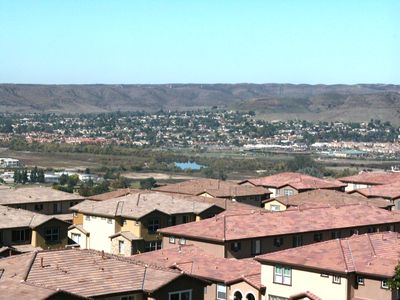
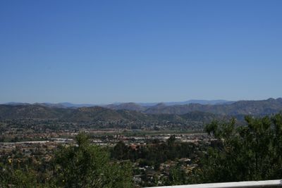
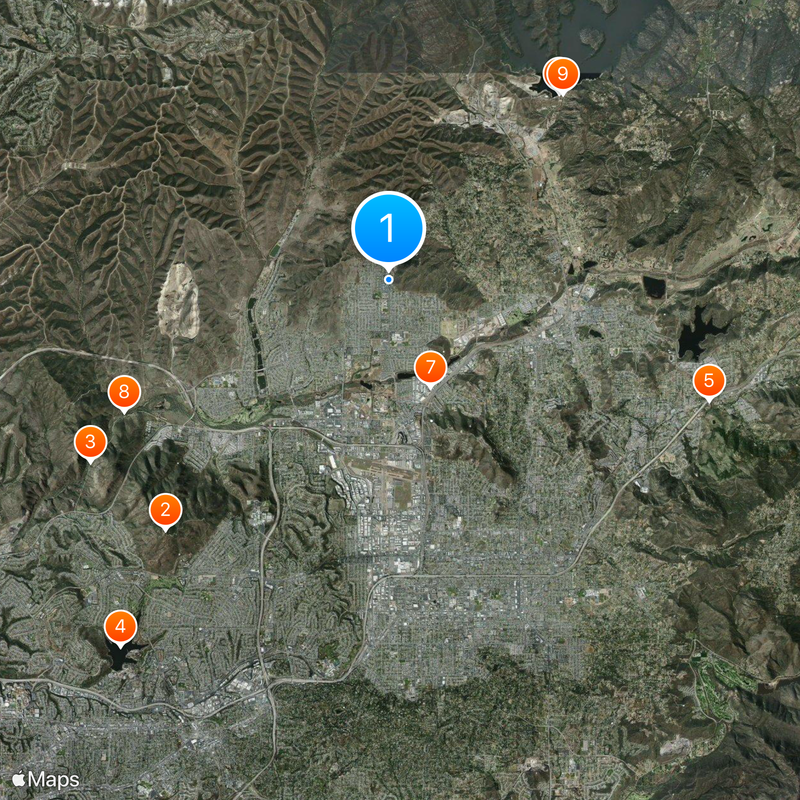
Santee is a city in San Diego County that stretches along both sides of the San Diego River, containing over 1,100 acres of natural habitat with parks and trails woven throughout. The landscape is shaped by river corridors that cut through the city and connect different recreational areas.

The Kumeyaay people established their village Sinyeweche at what is now Santee, situated along the San Diego River's banks. This location served as a gathering place for the region's indigenous population long before later settlement arrived.

Summer concerts run from June through August, drawing residents together for outdoor music performances held across different community spaces. These gatherings shape the rhythm of local life and create meeting points for neighbors.

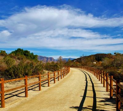
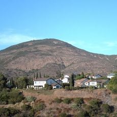
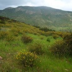
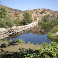
The Walker Preserve Trail runs 1.3 miles (2 km) along the San Diego River with access points and viewsites featuring a granite walking path. Visiting early in the day offers a quieter experience and better opportunities to observe wildlife and river scenery.

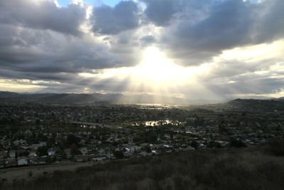
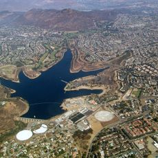
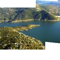
Santee Lakes Recreation Preserve maintains seven recycled water lakes across 190 acres with fishing, camping, and bird watching opportunities. These human-made lakes originated from water management practices and have become a key recreational destination for the region.

The community of curious travelers

AroundUs brings together thousands of curated places, local tips, and hidden gems, enriched daily by 60,000 contributors worldwide.

Start exploring
Location
Inception
1980
Elevation above the sea
107 m
GPS coordinates
32.86972,-116.97111
Latest update
December 14, 2025 18:46
Around this place
Cowles Mountain
United States of America

Cowles Mountain

8.5 km
Mission Trails Regional Park
United States of America

Mission Trails Regional Park

8.9 km
Lake Murray
United States of America

Lake Murray

11.5 km
Marshal Scotty's Playland Park
United States of America

Marshal Scotty's Playland Park

8.7 km
San Vicente Reservoir
United States of America

San Vicente Reservoir

6.4 km
Museum of Creation and Earth History
United States of America

Museum of Creation and Earth History

2.9 km
Old Mission Dam
United States of America

Old Mission Dam

7.5 km
San Vicente Dam
United States of America

San Vicente Dam

6.5 km
Edgemoor Farm Dairy Barn
United States of America

Edgemoor Farm Dairy Barn

2.9 km
Santee Boulders
United States of America

Santee Boulders

5.1 km
Creation & Earth History Museum & Bookstore
United States of America

Creation & Earth History Museum & Bookstore

2.9 km
United States of America

Sycamore Canyon Open Space Preserve

5.6 km
United States of America

Hollis Lake

6.4 km
United States of America

Carlton Oaks Golf

5.1 km
United States of America

Scenic viewpoint

6.6 km
United States of America

Mission Trails Golf Course

10.2 km

Stagehouse Theatre

7 km
United States of America

Mabel P. Bryan Amphitheatre

9.6 km
United States of America

Anfiteatro Monte Helix

11.5 km
United States of America

The Big Green Box (SDG&E)

8.5 km
United States of America

Willowbrook Golf Course

3.4 km
United States of America

Scenic viewpoint

10 km
United States of America

Scenic Overlook

8.5 km
United States of America

Scenic viewpoint

8.5 km
United States of America

Scenic viewpoint

7.5 km
United States of America

Summit, hill, scenic viewpoint, mountain

8.2 km
United States of America

Scenic viewpoint

11.5 km
United States of America

Scenic viewpoint

8.2 km
Show the full map
Reviews
Share your experience

No review yet

Discussions
Start a discussion...

No discussion yet

« Santee - Charter city in San Diego County, US » is provided by Around Us (aroundus.com). Images and texts are derived from Wikimedia project under a Creative Commons license. You are allowed to copy, distribute, and modify copies of this page, under the conditions set by the license, as long as this note is clearly visible.

Discover hidden gems everywhere you go!

From secret cafés to breathtaking viewpoints, skip the crowded tourist spots and find places that match your style. Our app makes it easy with voice search, smart filtering, route optimization, and insider tips from travelers worldwide. Download now for the complete mobile experience.

Around Us App Screenshot

A unique approach to discovering new places

Le Figaro

All the places worth exploring

France Info

A tailor-made excursion in just a few clicks

20 Minutes

Around Us
Travel Guide & Maps
Download

Send to your phone

QR Code
1

Open the camera app on your mobile.

2

Point at the QR code with your camera. A notification will appear.

3

Tap the notification to open the link.